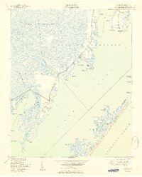
1951 Map of Davis
USGS Topo · Published 1951About this map
Hunting Quarters and the Core Banks define this coastal landscape, where the labyrinthine waters of Core Sound separate the mainland from the barrier beach. The shoreline is defined by a succession of marshy points and coves, including King Point Marsh and Brett Bay. Small, established communities like Davis, Stacy, and Sealevel are clustered along the narrow neck of land between the sound and the Open Grounds to the west.
Find a feature on this map
80 named features on this map. Tap any name to fly to it.
Don’t see what you’re looking for? This feature index may not catch every label — zoom into the map to look around manually.
Map Details
Editions of this 1951 Davis Map
2 editions found
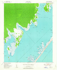
Other maps of this area

1949 · Atlantic
USGS Topo · 1:24,000

1949 · Styron Bay
USGS Topo · 1:24,000

1949 · Long Bay
USGS Topo · 1:24,000

1949 · Williston
USGS Topo · 1:24,000

1949 · Harkers Island
USGS Topo · 1:24,000

1949 · South River
USGS Topo · 1:24,000

1949 · Davis
USGS Topo · 1:24,000

1950 · Horsepen Point
USGS Topo · 1:24,000

1950 · Long Bay
USGS Topo · 1:24,000

1950 · South River
USGS Topo · 1:24,000