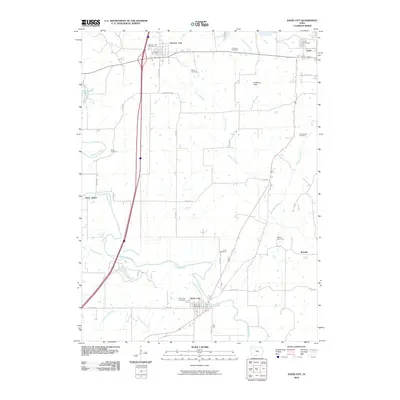
2010 Map of Davis City
USGS Topo · Published 2010About this map
The Thompson River winds through the heart of southern Decatur County, defining the drainage patterns for this largely agricultural landscape. At the intersection of major local arteries, Davis City and Decatur City serve as the primary hubs, with the latter housing the Decatur Post Office. This survey provides a clear view of the rural township structure, marked by numerous family and community burial grounds including the Miller Cemetery, Waller Cemetery, and Manchester Cemetery. The land is dissected by several significant waterways such as Britton Branch and McGruder Creek, which influence the placement of rural roads like Terre Haute Rd. In the northeast corner, the county seat of Leon appears with its associated Leon Cemetery, while smaller named locales like Terre Haute and Blockly indicate the historical footprint of smaller settlements and rail-side stops.
Find a feature on this map
33 named features on this map. Tap any name to fly to it.
Don’t see what you’re looking for? This feature index may not catch every label — zoom into the map to look around manually.
Map Details
Editions of this 2010 Davis City Map
This is the sole edition of this map. No revisions or reprints were ever made.
Other maps of this area

1945 · Lamoni
USGS Topo · 1:62,500

1947 · Lamoni
USGS Topo · 1:62,500

1954 · Centerville
USGS Topo · 1:250,000

1957 · Centerville
USGS Topo · 1:250,000

1958 · Centerville
USGS Topo · 1:250,000

1964 · Pleasanton
USGS Topo · 1:24,000

1964 · Leon
USGS Topo · 1:24,000

1965 · Garden Grove SW
USGS Topo · 1:24,000
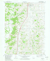
1981 · Van Wert
USGS Topo · 1:24,000
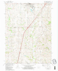
1981 · Lamoni South
USGS Topo · 1:24,000