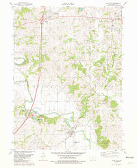
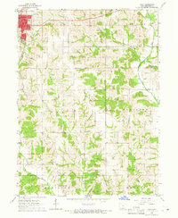
1981 Map of Davis City
USGS Topo · Published 1981About this map
Decatur City and Davis City anchor this section of southern Iowa, where the landscape is defined by the winding course of the Thompson River. The area exhibits a typical late-20th-century Midwestern rural pattern, with small population centers linked by the Burlington Northern railroad and several historic burial grounds like Palestine Cem and Manchester Cem scattered across the township boundaries. Local recreation and geography are highlighted by the Slip Bluff County Park, which sits near a prominent bend in the river, adjacent to a structured Campground and Picnic Area. The presence of several Quarry sites and Sewage Disposal Ponds reflects the local industry and infrastructure of the era. Smaller settlements like Terre Haute and features such as McMillian Field provide valuable points of reference for genealogists tracing family locations across the townships of Burrell, Eden, and Center.
Find a feature on this map
38 named features on this map. Tap any name to fly to it.
Don’t see what you’re looking for? This feature index may not catch every label — zoom into the map to look around manually.
Map Details
Editions of this 1981 Davis City Map
This is the sole edition of this map. No revisions or reprints were ever made.
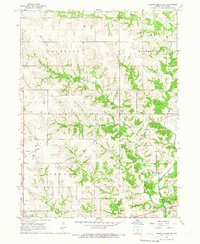
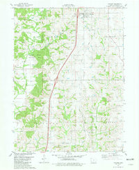
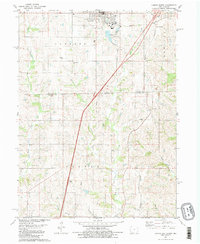
Other maps of this area
1945 · Lamoni
USGS Topo · 1:62,500
1947 · Lamoni
USGS Topo · 1:62,500

1954 · Centerville
USGS Topo · 1:250,000

1957 · Centerville
USGS Topo · 1:250,000

1958 · Centerville
USGS Topo · 1:250,000
1964 · Pleasanton
USGS Topo · 1:24,000
1964 · Leon
USGS Topo · 1:24,000
1965 · Garden Grove SW
USGS Topo · 1:24,000
1981 · Van Wert
USGS Topo · 1:24,000
1981 · Lamoni South
USGS Topo · 1:24,000