
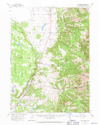
1962 Map of Davis Creek
USGS Topo · Published 1964About this map
The XL Ranch Indian Reservation sits at the foot of the western slopes of the Warner Mountains, occupying the fertile valley lands where the North Fork Pit River flows south. This 1960s-era landscape is defined by its water management and ranching heritage, featuring several upland water sources like Lauer Reservoir and Mud Lake Reservoir that feed the lower agricultural plains. The settlement of Davis Creek serves as the primary hub, situated along the Southern Pacific rail line and Highway 395.
Find a feature on this map
63 named features on this map. Tap any name to fly to it.
Don’t see what you’re looking for? This feature index may not catch every label — zoom into the map to look around manually.
Map Details
Editions of this 1962 Davis Creek Map
2 editions found
Other maps of this area

1886 · Alturas
USGS Topo · 1:250,000

1892 · Alturas
USGS Topo · 1:250,000

1954 · Alturas
USGS Topo · 1:250,000

1958 · Alturas
USGS Topo · 1:250,000

1961 · Alturas
USGS Topo · 1:62,500

1962 · Alturas
USGS Topo · 1:250,000

1962 · Big Sage Reservoir
USGS Topo · 1:62,500

1962 · Willow Ranch
USGS Topo · 1:62,500

1962 · South Mountain
USGS Topo · 1:62,500

1962 · Cedarville
USGS Topo · 1:62,500