2024 Map of Davis Mountain SW
USGS Topo · Published 2024About this map
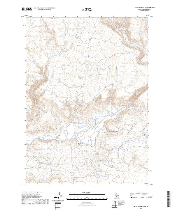
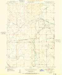
Clover Creek meanders through the high desert terrain of Gooding County, defining the drainage patterns below the Mount Bennett Hills. This 2024 survey captures a landscape shaped by scarce water resources, where named sites like White Arrow Hot Spring and Coyote Hill Spring serve as vital landmarks in an otherwise arid environment. The presence of the Upper Clover Creek Cem along Clover Creek Rd provides a specific point of interest for genealogists and local historians, marking a legacy of rural settlement near the canyon floors.
Find a feature on this map
25 named features on this map. Tap any name to fly to it.
Don’t see what you’re looking for? This feature index may not catch every label — zoom into the map to look around manually.
Map Details
Editions of this 2024 Davis Mountain SW Map
This is the sole edition of this map. No revisions or reprints were ever made.
Other maps of this area

1892 · Camas Prairie
USGS Topo · 1:125,000

1893 · Camas Prairie
USGS Topo · 1:125,000
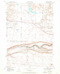
1948 · Ticeska
USGS Topo · 1:24,000

1949 · Ticeska
USGS Topo · 1:24,000

1949 · Pasadena Valley
USGS Topo · 1:62,500
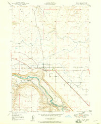
1949 · Bliss
USGS Topo · 1:24,000
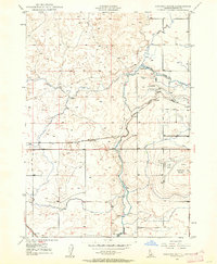
1949 · Gooding Butte
USGS Topo · 1:24,000
1950 · Gooding Butte
USGS Topo · 1:24,000
1950 · Bliss
USGS Topo · 1:24,000

1955 · Twin Falls
USGS Topo · 1:250,000