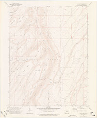
1973 Map of Davis Point
USGS Topo · Published 1976About this map
The high plateau and drainage systems of the Uncompahgre National Forest dominate this mid-century landscape, characterized by steep canyon walls and expansive mesas. The terrain is deeply incised by watercourses such as Roubideau Creek and Cushman Creek, which separate distinct flat-topped features like Moore Mesa, Payne Mesa, and East Mesa. This 1973 field-checked survey reveals a network of primitive access routes vital for land management and early recreation, including the Roubideau Trail and the Transfer Road. Notable landmarks such as Davis Point and Ashley Ridge provide significant navigational anchors within the forest boundary. The map captures the area before modern development, focusing on the natural geography and the simple, functional trail systems that connect the various basins like Horseshoe Basin and Wright Basin.
Find a feature on this map
30 named features on this map. Tap any name to fly to it.
Don’t see what you’re looking for? This feature index may not catch every label — zoom into the map to look around manually.
Map Details
Editions of this 1973 Davis Point Map
3 editions found
Other maps of this area

1956 · Moab
USGS Topo · 1:250,000

1959 · Moab
USGS Topo · 1:250,000

1960 · Moab
USGS Topo · 1:250,000

1962 · Moab
USGS Topo · 1:250,000
1962 · Hoovers Corner
USGS Topo · 1:24,000

1964 · Moab
USGS Topo · 1:250,000

1965 · Moab
USGS Topo · 1:250,000
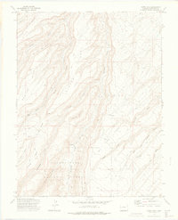
1973 · Camel Back
USGS Topo · 1:24,000
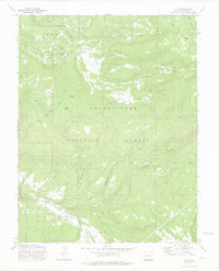
1973 · Ute
USGS Topo · 1:24,000
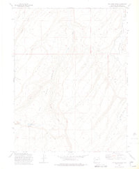
1973 · Dry Creek Basin
USGS Topo · 1:24,000