2024 Map of Davisville
USGS Topo · Published 2024About this map
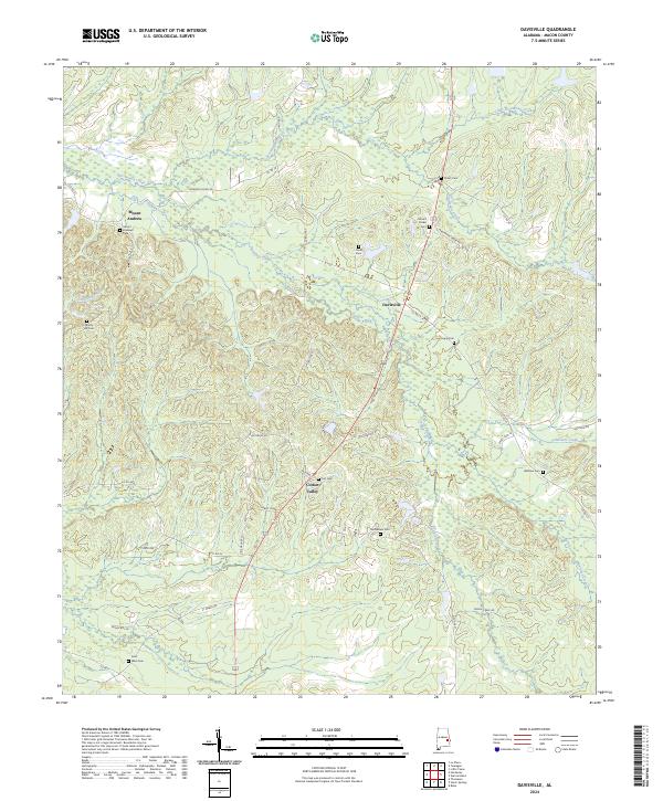
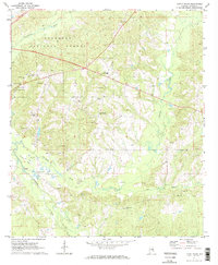
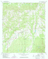
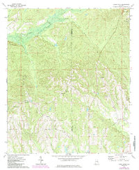
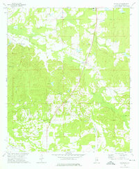
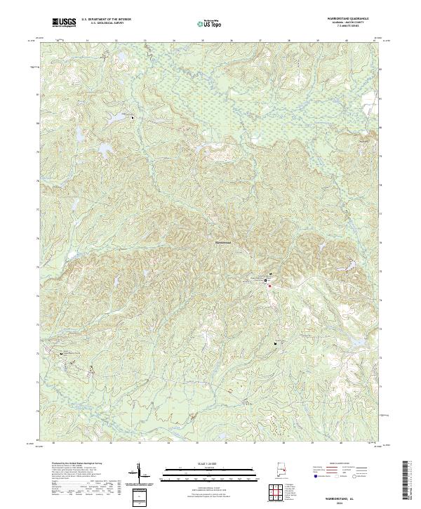
Cotton Valley and Davisville anchor this rural Macon County landscape, where the terrain is defined by a dense network of family and community burial grounds. These sites, including Bethlehem Cem, Shiloh Cem, and Fort Cem, are scattered across the rolling hills and creek bottoms, providing significant data points for genealogists tracing regional lineages. The hydrology of the area is shaped by the winding courses of Calebee Creek and Persimmon Creek, which drain the timbered and agricultural tracts.
Find a feature on this map
42 named features on this map. Tap any name to fly to it.
Don’t see what you’re looking for? This feature index may not catch every label — zoom into the map to look around manually.
Map Details
Editions of this 2024 Davisville Map
This is the sole edition of this map. No revisions or reprints were ever made.
Historical Maps of Davisville Through Time
17 maps found
1971 Chesson
Macon County, AL
1971 Hardaway
Macon County, AL
1971 La Place
Macon County, AL
1971 Little Texas
Macon County, AL
1971 Society Hill
Macon County, AL
1973 Creek Stand
Macon County, AL
1973 Davisville
Macon County, AL
1973 Warriorstand
Macon County, AL
1998 Little Texas
Macon County, AL
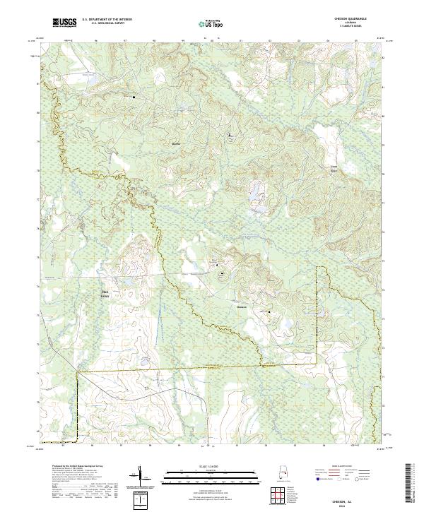
2024 Chesson
Macon County, AL
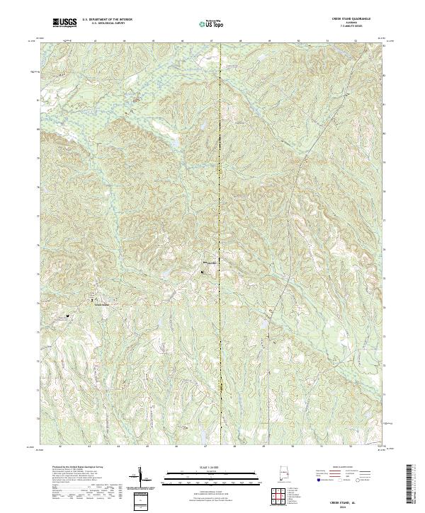
2024 Creek Stand
Macon County, AL
2024 Davisville
Macon County, AL
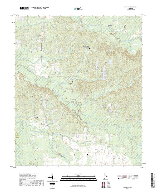
2024 Hardaway
Macon County, AL
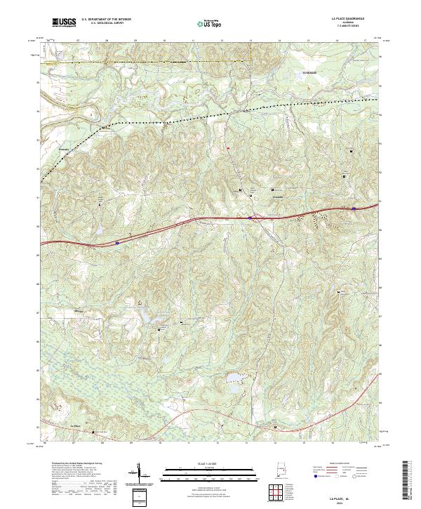
2024 La Place
Macon County, AL
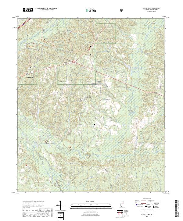
2024 Little Texas
Macon County, AL
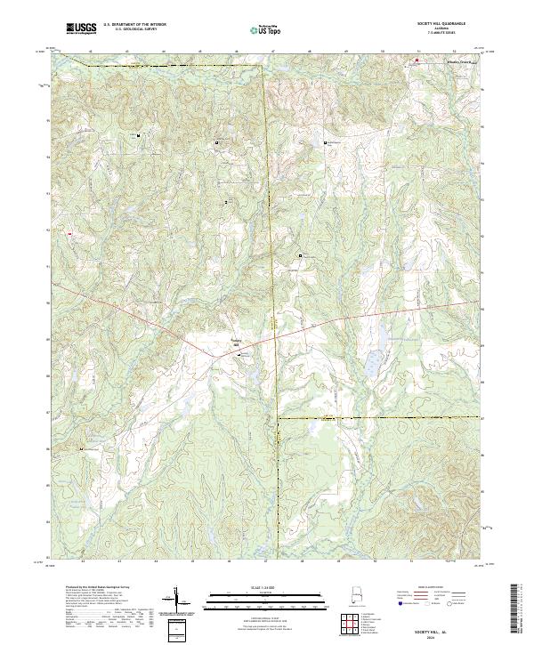
2024 Society Hill
Macon County, AL
2024 Warriorstand
Macon County, AL