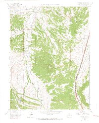
1965 Map of Dawson Butte
USGS Topo · Published 1967About this map
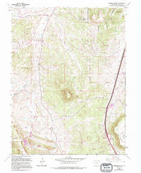
Dawson Butte rises as a prominent landmark in the center of this 1960s survey, overlooking a landscape defined by the parallel corridors of the Atchison Topeka and Santa Fe and the Denver and Rio Grande Western railroads. These transit lines trace the eastern edge of the quadrangle near Tomah, while the western terrain transitions into the Pike Nat For. Settlement patterns here reflect a mix of early educational and community centers alongside mid-century developments like Monte Vista Estates and Perry Park Ranch. Genealogists will find several rural institutions noted, including the Glen Grove Cem and a series of historic school sites such as Oakland Sch, Lone Tree Sch, and Glen Grove Sch. The presence of the Continental Divide Raceway near the northern boundary captures a specific era of Colorado automotive history, while drainage features like West Plum Creek and Jackson Creek anchor the local topography.
Find a feature on this map
27 named features on this map. Tap any name to fly to it.
Don’t see what you’re looking for? This feature index may not catch every label — zoom into the map to look around manually.
Map Details
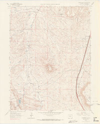
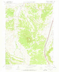
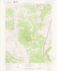
Editions of this 1965 Dawson Butte Map
5 editions found
Other maps of this area

1893 · Platte Canyon
USGS Topo · 1:125,000

1894 · Castle Rock
USGS Topo · 1:125,000

1913 · Castle Rock
USGS Topo · 1:125,000

1940 · Castle Rock
USGS Topo · 1:62,500

1945 · Castle Rock
USGS Topo · 1:62,500

1945 · Kassler
USGS Topo · 1:24,000

1948 · Kassler
USGS Topo · 1:24,000

1953 · Denver
USGS Topo · 1:250,000

1954 · Devils Head
USGS Topo · 1:24,000
1954 · Greenland
USGS Topo · 1:24,000