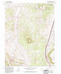
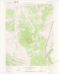
1965 Map of Dawson Butte
USGS Topo · Published 1994About this map
Dawson Butte rises as a central landmark in this portion of Douglas County, where the transition from ranching heritage to residential development is evident. The northern reaches feature Monte Vista Estates, while the community of Tomah sits along the dual rail lines of the Atchison Topeka and Santa Fe and the Denver and Rio Grande Western. This corridor follows the drainage of East Plum Creek, a primary waterway that has long defined local transport and settlement patterns.
Find a feature on this map
28 named features on this map. Tap any name to fly to it.
Don’t see what you’re looking for? This feature index may not catch every label — zoom into the map to look around manually.
Map Details
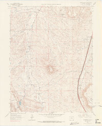
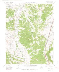
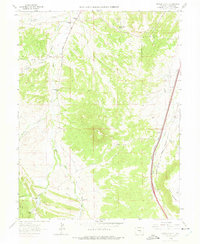
Editions of this 1965 Dawson Butte Map
5 editions found
Other maps of this area

1893 · Platte Canyon
USGS Topo · 1:125,000

1894 · Castle Rock
USGS Topo · 1:125,000

1913 · Castle Rock
USGS Topo · 1:125,000

1940 · Castle Rock
USGS Topo · 1:62,500

1945 · Castle Rock
USGS Topo · 1:62,500

1945 · Kassler
USGS Topo · 1:24,000

1948 · Kassler
USGS Topo · 1:24,000

1953 · Denver
USGS Topo · 1:250,000

1954 · Devils Head
USGS Topo · 1:24,000
1954 · Greenland
USGS Topo · 1:24,000