Loading...
Loading map...2022 Map of Dawson
USGS Topo · Published 2022About this map
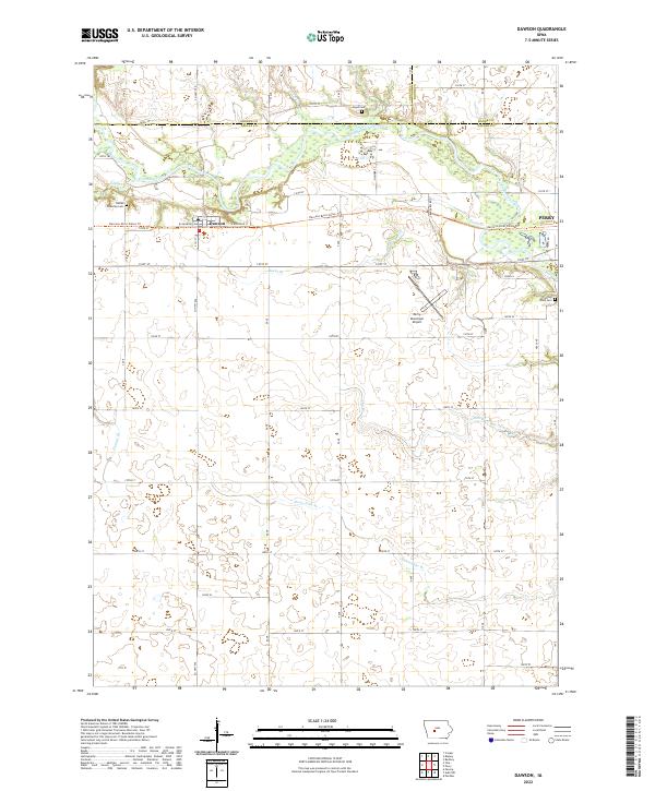
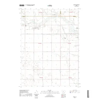
The North Raccoon River carves a winding path through this Dallas County landscape, defining the character of the river valley as it transitions from agricultural fields to riparian wetlands. The small settlement of Dawson is anchored by its rail history along W Railroad Ave and E Railroad St, which have since been repurposed as part of the Raccoon River Valley Trl.
Find a feature on this map
40 named features on this map. Tap any name to fly to it.
Don’t see what you’re looking for? This feature index may not catch every label — zoom into the map to look around manually.
Map Details
Date Portrayed2022
Date Published2022
PublisherU.S. Geological Survey
Map TypeTopographic
Scale1:24,000
Physical Dimensions24 x 29 inches
Editions of this 2022 Dawson Map
This is the sole edition of this map. No revisions or reprints were ever made.
Historical Maps of Dawson Through Time
6 maps found

Featured Locations
- Dallas Township, IA
- Lincoln Township, IA
- Spring Valley Township, IA
- Washington Township, IA
- Dawson, Dallas Township
Source Details
SourceU.S. Geological Survey
CopyrightPublic Domain