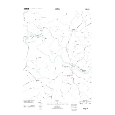
2013 Map of Dawson
USGS Topo · Published 2013About this map
The Youghiogheny River carves a deep path through this portion of Fayette County, anchoring a network of small industrial and residential settlements. The river's winding course is flanked by several named elevations including Layton Hill, Kilndigging Hill, and Fort Hill, which define the local topography. Key crossings and communities such as Layton, Dawson, and Vanderbilt are interconnected by a dense web of rural roads, reflecting the region's historical reliance on both water and overland transit. Evidence of the area's industrial heritage is preserved in labels like Alliance Furnace, located near Morrow Hollow in the northern reach of the map.
Find a feature on this map
104 named features on this map. Tap any name to fly to it.
Don’t see what you’re looking for? This feature index may not catch every label — zoom into the map to look around manually.
Map Details
Editions of this 2013 Dawson Map
This is the sole edition of this map. No revisions or reprints were ever made.
Other maps of this area

1900 · Uniontown
USGS Topo · 1:62,500

1900 · Masontown
USGS Topo · 1:62,500

1902 · Brownsville
USGS Topo · 1:62,500

1902 · Connellsville
USGS Topo · 1:62,500

1903 · Masontown
USGS Topo · 1:62,500

1906 · Brownsville
USGS Topo · 1:62,500

1931 · Brownsville
USGS Topo · 1:62,500

1931 · Connellsville
USGS Topo · 1:62,500

1931 · Uniontown
USGS Topo · 1:62,500

1931 · Masontown
USGS Topo · 1:62,500