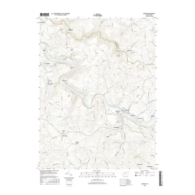
2016 Map of Dawson
USGS Topo · Published 2016About this map
The Youghiogheny River winds through a landscape of steep hills and narrow valleys in this part of Fayette County, where several small industrial-era settlements sit along the riverbanks and rail lines. Modern mapping captures the enduring layout of towns like Vanderbilt, Dawson, and Perryopolis, which are linked by the winding path of the B & O RR. Evidence of the region’s early industrial heritage appears in labels like Alliance Furnace and Kilndigging Hill, indicating a history of resource extraction and processing.
Find a feature on this map
135 named features on this map. Tap any name to fly to it.
Don’t see what you’re looking for? This feature index may not catch every label — zoom into the map to look around manually.
Map Details
Editions of this 2016 Dawson Map
This is the sole edition of this map. No revisions or reprints were ever made.
Other maps of this area

1900 · Uniontown
USGS Topo · 1:62,500

1900 · Masontown
USGS Topo · 1:62,500

1902 · Brownsville
USGS Topo · 1:62,500

1902 · Connellsville
USGS Topo · 1:62,500

1903 · Masontown
USGS Topo · 1:62,500

1906 · Brownsville
USGS Topo · 1:62,500

1931 · Brownsville
USGS Topo · 1:62,500

1931 · Connellsville
USGS Topo · 1:62,500

1931 · Uniontown
USGS Topo · 1:62,500

1931 · Masontown
USGS Topo · 1:62,500