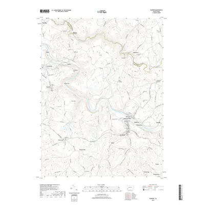
2019 Map of Dawson
USGS Topo · Published 2019About this map
The Youghiogheny River carves a deep, winding path through this corner of Fayette County, dictating the development of several closely clustered river towns. Settlements like Dawson, Dickerson Run, Hulltown, and Raineytown sit in tight proximity along the southern bank, reflecting the dense industrial and residential patterns common to the region's river-and-rail corridor. North of the river, the landscape rises into significant heights such as Layton Hill and Ft. Hill, while the historical industry of the area is signaled by the Alliance Furnace near Jacobs Creek.
Find a feature on this map
114 named features on this map. Tap any name to fly to it.
Don’t see what you’re looking for? This feature index may not catch every label — zoom into the map to look around manually.
Map Details
Editions of this 2019 Dawson Map
This is the sole edition of this map. No revisions or reprints were ever made.
Other maps of this area

1900 · Uniontown
USGS Topo · 1:62,500

1900 · Masontown
USGS Topo · 1:62,500

1902 · Brownsville
USGS Topo · 1:62,500

1902 · Connellsville
USGS Topo · 1:62,500

1903 · Masontown
USGS Topo · 1:62,500

1906 · Brownsville
USGS Topo · 1:62,500

1931 · Brownsville
USGS Topo · 1:62,500

1931 · Connellsville
USGS Topo · 1:62,500

1931 · Uniontown
USGS Topo · 1:62,500

1931 · Masontown
USGS Topo · 1:62,500