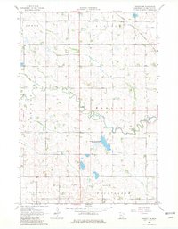
1967 Map of Dawson NW
USGS Topo · Published 1982About this map
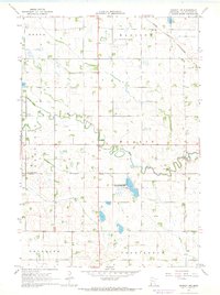
The West Branch Lac qui Parle River meanders across this rural landscape, carving a natural path through a highly organized system of townships and agricultural drainage. Surveyed in the mid-1960s, the terrain is defined by the rigid boundaries of Arena, Hamlin, Garfield, and Providence townships. These political divisions are overlayed by an extensive network of man-made waterways, including County Ditch No 17 and County Ditch No 69, which illustrate the region's intensive effort to manage the local prairie-pothole hydrology for farming.
Find a feature on this map
17 named features on this map. Tap any name to fly to it.
Don’t see what you’re looking for? This feature index may not catch every label — zoom into the map to look around manually.
Map Details
Editions of this 1967 Dawson NW Map
2 editions found
Other maps of this area

1953 · Bellingham
USGS Topo · 1:62,500

1953 · Milbank
USGS Topo · 1:250,000

1953 · Watertown
USGS Topo · 1:250,000

1958 · Milbank
USGS Topo · 1:250,000

1958 · Watertown
USGS Topo · 1:250,000

1958 · Cerro Gordo
USGS Topo · 1:24,000

1958 · Madison
USGS Topo · 1:24,000

1967 · Dawson SW
USGS Topo · 1:24,000
1967 · Providence
USGS Topo · 1:24,000

1967 · Gary SE
USGS Topo · 1:24,000