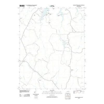
2010 Map of Dawson Springs SW
USGS Topo · Published 2010About this map
Lake Beshear and Pennyrile Lake dominate this landscape in western Kentucky, providing a distinct contrast to the timbered ridges and creek valleys that define the local topography. This 2010 study documents a region characterized by its ridges, including Orange Ridge and Fowler Ridge, and its intricate drainage systems such as Clifty Creek and Piney Creek. Genealogists will find considerable value in the documentation of several family-named burial grounds like Vanhooser Cemetery, Newson Cemetery, and Rodgers Cemetery scattered across the rural landscape. The settlement of Hawkins sits in the southeast, while Ruth is located along the western margin. High ground features like Flat Knob and Pine Knob provide natural landmarks overlooking the dense network of rural roads, including Wallace Park Rd and Dawson Springs Rd, which connect the small communities and recreational areas.
Find a feature on this map
55 named features on this map. Tap any name to fly to it.
Don’t see what you’re looking for? This feature index may not catch every label — zoom into the map to look around manually.
Map Details
Editions of this 2010 Dawson Springs SW Map
This is the sole edition of this map. No revisions or reprints were ever made.
Other maps of this area

1908 · Princeton
USGS Topo · 1:62,500

1909 · Dawson Springs
USGS Topo · 1:48,000

1910 · Princeton
USGS Topo · 1:62,500

1911 · Dawson Springs
USGS Topo · 1:62,500

1952 · Pleasant Green Hill
USGS Topo · 1:24,000

1953 · Dawson Springs SE
USGS Topo · 1:24,000

1953 · Gracey
USGS Topo · 1:24,000

1953 · Cobb
USGS Topo · 1:24,000

1953 · Dawson Springs SW
USGS Topo · 1:24,000

1954 · Evansville
USGS Topo · 1:250,000