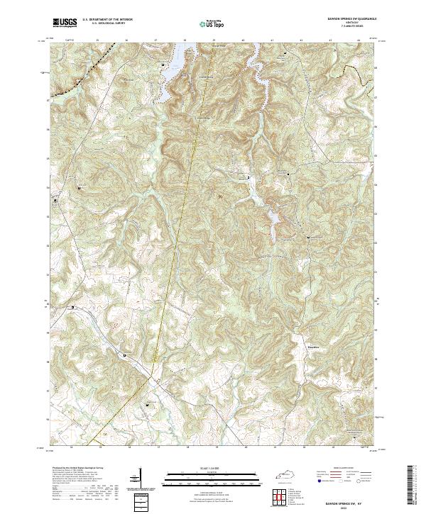
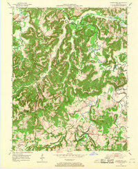
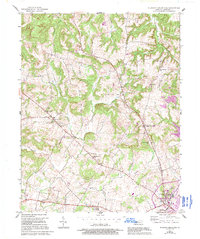
2022 Map of Dawson Springs SW
USGS Topo · Published 2022This historical map portrays the area of Dawson Springs SW in 2022, primarily covering Christian County as well as portions of Trigg County and Caldwell County. Featuring a scale of 1:24000, this map provides a highly detailed snapshot of the terrain, roads, buildings, counties, and historical landmarks in the Dawson Springs SW region at the time. Published in 2022, it is the sole known edition of this map.
Find a feature on this map
84 named features on this map. Tap any name to fly to it.
Don’t see what you’re looking for? This feature index may not catch every label — zoom into the map to look around manually.
Map Details
Editions of this 2022 Dawson Springs SW Map
This is the sole edition of this map. No revisions or reprints were ever made.
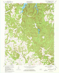
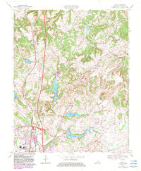
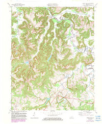
Historical Maps of Hawkins Through Time
26 maps found

1951 Church Hill
Christian County, KY

1951 Herndon
Christian County, KY
1952 Honey Grove
Christian County, KY

1952 Kelly
Christian County, KY
1952 Pleasant Green Hill
Christian County, KY
1953 Dawson Springs SE
Christian County, KY

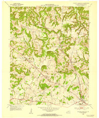
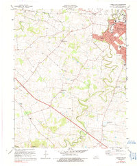
1953 Dawson Springs SW
Christian County, KY
1953 Haleys Mill
Christian County, KY
1956 Church Hill
Christian County, KY
1957 Herndon
Christian County, KY
1957 Kelly
Christian County, KY
1957 Pleasant Green Hill
Christian County, KY
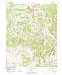
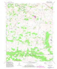
1967 Dawson Springs SW
Christian County, KY
1969 Kelly
Christian County, KY
1972 Haleys Mill
Christian County, KY
1978 Church Hill
Christian County, KY
1978 Herndon
Christian County, KY
1993 Kelly
Christian County, KY
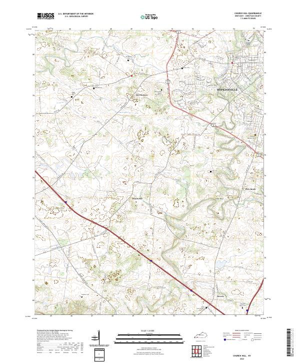
2022 Church Hill
Christian County, KY
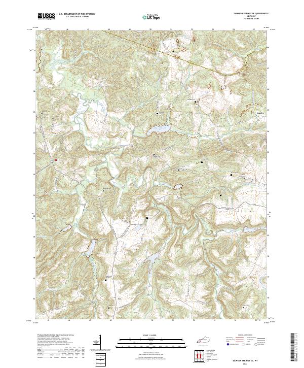
2022 Dawson Springs SE
Christian County, KY
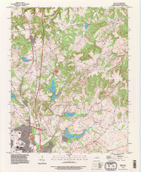
2022 Dawson Springs SW
Christian County, KY
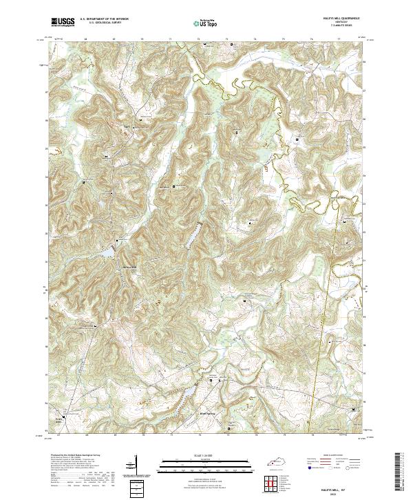
2022 Haleys Mill
Christian County, KY
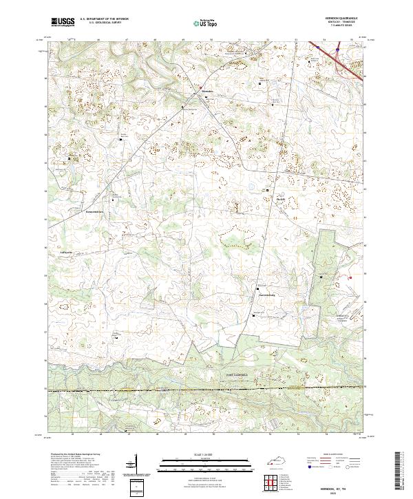
2022 Herndon
Christian County, KY
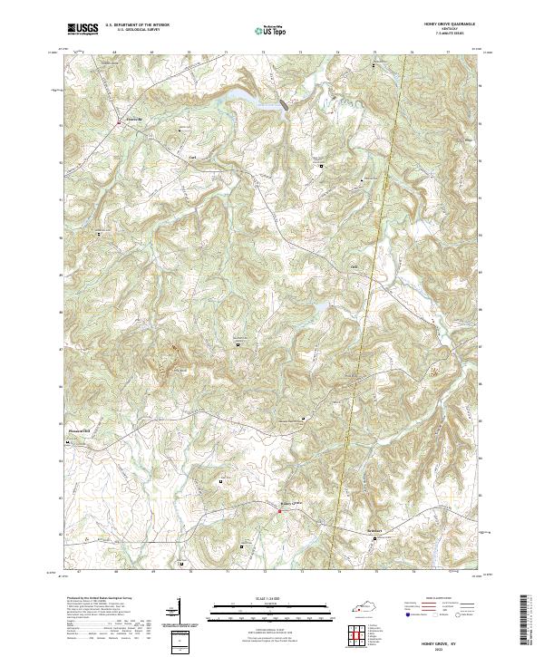
2022 Honey Grove
Christian County, KY
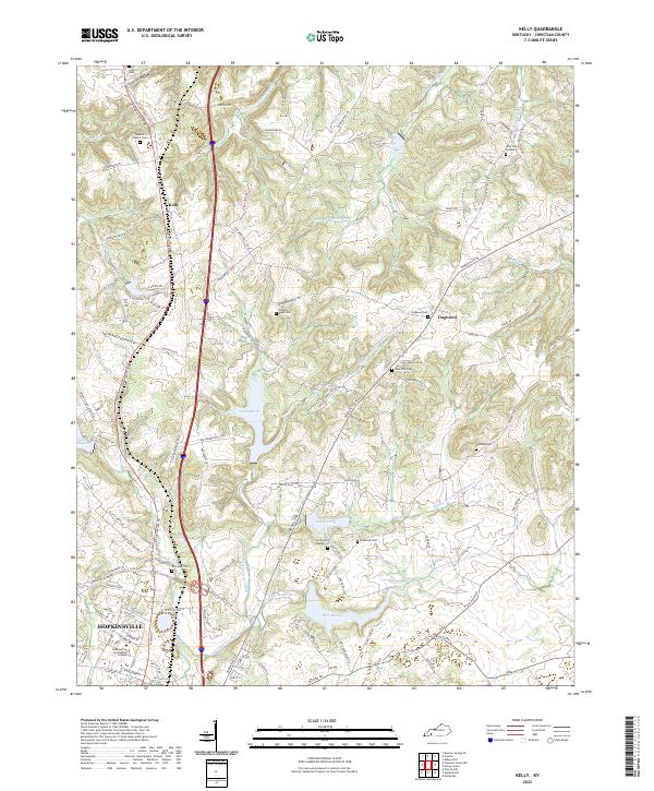
2022 Kelly
Christian County, KY
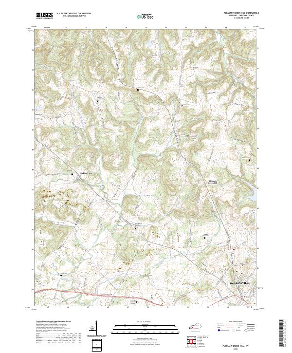
2022 Pleasant Green Hill
Christian County, KY