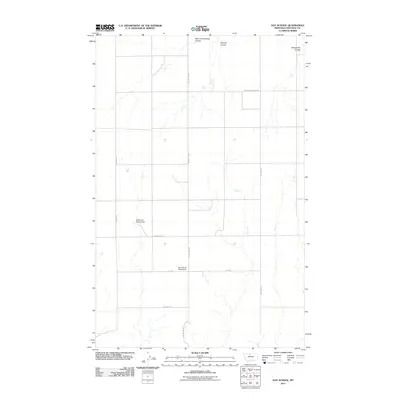
2011 Map of Day School
USGS Topo · Published 2011About this map
Day School (Historical) stands as a reminder of early educational infrastructure in this rural pocket of Chouteau County. The landscape is defined by a series of drainage systems, including Sixmile Coulee, West Fork Sixmile Coulee, and Twelvemile Coulee, which dictate the local topography. This early 21st-century survey reveals a transition toward modern road networks while retaining the imprints of previous generations. Notable landmarks like the Fisherman George Dam provide evidence of water management and recreation in an otherwise arid region. Roads such as Colony Bay Rd and Day Rd intersect the terrain, providing access to remote ranching or agricultural sites. The placement of Day School at the corner of Colony Bay Rd highlights how central community hubs were positioned relative to the primary transit routes of the era.
Find a feature on this map
17 named features on this map. Tap any name to fly to it.
Don’t see what you’re looking for? This feature index may not catch every label — zoom into the map to look around manually.
Map Details
Editions of this 2011 Day School Map
This is the sole edition of this map. No revisions or reprints were ever made.
Other maps of this area

1890 · Fort Benton
USGS Topo · 1:250,000

1892 · Fort Benton
USGS Topo · 1:250,000

1897 · Fort Benton
USGS Topo · 1:250,000

1906 · Lonesome
USGS Topo · 1:62,500

1919 · Big Sandy
USGS Topo · 1:125,000

1953 · Loma East
USGS Topo · 1:24,000

1953 · Loma West
USGS Topo · 1:24,000

1954 · Great Falls
USGS Topo · 1:250,000

1954 · Shelby
USGS Topo · 1:250,000

1957 · Great Falls
USGS Topo · 1:250,000