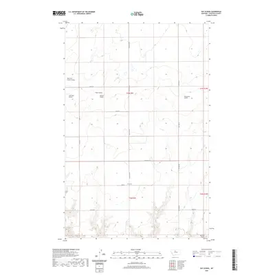
2020 Map of Day School
USGS Topo · Published 2020About this map
Day School serves as a focal point in this section of Chouteau County, where the high plains are deeply incised by a network of drainage channels. The landscape is defined by its coulees, with Sixmile Coulee and its West Fork cutting through the western terrain, while the Dry Fork Coulee and Twelvemile Coulee carve out the eastern reaches.
Find a feature on this map
21 named features on this map. Tap any name to fly to it.
Don’t see what you’re looking for? This feature index may not catch every label — zoom into the map to look around manually.
Map Details
Editions of this 2020 Day School Map
This is the sole edition of this map. No revisions or reprints were ever made.
Other maps of this area

1890 · Fort Benton
USGS Topo · 1:250,000

1892 · Fort Benton
USGS Topo · 1:250,000

1897 · Fort Benton
USGS Topo · 1:250,000

1906 · Lonesome
USGS Topo · 1:62,500

1919 · Big Sandy
USGS Topo · 1:125,000

1953 · Loma East
USGS Topo · 1:24,000

1953 · Loma West
USGS Topo · 1:24,000

1954 · Great Falls
USGS Topo · 1:250,000

1954 · Shelby
USGS Topo · 1:250,000

1957 · Great Falls
USGS Topo · 1:250,000