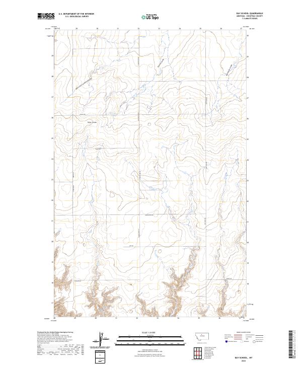
2024 Map of Day School
USGS Topo · Published 2024About this map
The rolling plains of Chouteau County are defined by deep drainage systems like West Fork Sixmile Coulee and Fisher Coulee, which cut through the landscape in this section of north-central Montana. The map illustrates a rural area organized by a geometric grid of range roads and property boundaries, where long-established family names appear on thoroughfares such as Schultz Rd, Briese Rd, and Jensen Rd.
Find a feature on this map
18 named features on this map. Tap any name to fly to it.
Don’t see what you’re looking for? This feature index may not catch every label — zoom into the map to look around manually.
Map Details
Editions of this 2024 Day School Map
This is the sole edition of this map. No revisions or reprints were ever made.
Other maps of this area

1890 · Fort Benton
USGS Topo · 1:250,000

1892 · Fort Benton
USGS Topo · 1:250,000

1897 · Fort Benton
USGS Topo · 1:250,000

1906 · Lonesome
USGS Topo · 1:62,500

1919 · Big Sandy
USGS Topo · 1:125,000

1953 · Loma East
USGS Topo · 1:24,000

1953 · Loma West
USGS Topo · 1:24,000

1954 · Great Falls
USGS Topo · 1:250,000

1954 · Shelby
USGS Topo · 1:250,000

1957 · Great Falls
USGS Topo · 1:250,000