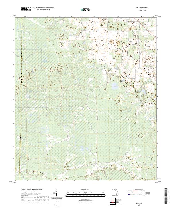
2024 Map of Day SE
USGS Topo · Published 2024About this map
Tiger Bay and Fire Pan Sog dominate the northwest corner of this landscape along the Taylor and Lafayette county line. The terrain is defined by a dense network of wetlands and shallow water bodies typical of north-central Florida, including Old Grassy Lake and the expansive Double Run Bay in the southeast. This geography heavily influenced the rural settlement patterns, with roads like Old Salt Rd navigating around the soggy basins of Horton Sog and Big Sog.
Find a feature on this map
47 named features on this map. Tap any name to fly to it.
Don’t see what you’re looking for? This feature index may not catch every label — zoom into the map to look around manually.
Map Details
Editions of this 2024 Day SE Map
This is the sole edition of this map. No revisions or reprints were ever made.
Other maps of this area

1954 · Mallory Swamp NW
USGS Topo · 1:24,000

1954 · Fenholloway
USGS Topo · 1:24,000

1954 · Day SE
USGS Topo · 1:24,000

1954 · Day
USGS Topo · 1:24,000

1954 · Cooks Hammock
USGS Topo · 1:24,000

1954 · Salem
USGS Topo · 1:24,000

1954 · Dowling Park
USGS Topo · 1:24,000

1954 · Day NW
USGS Topo · 1:24,000

1954 · Gainesville
USGS Topo · 1:250,000

1954 · Valdosta
USGS Topo · 1:250,000