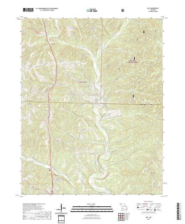
2021 Map of Day
USGS Topo · Published 2021About this map
Mark Twain National Forest dominates the northeastern landscape of this Taney County region, where the terrain is defined by a dense network of hollows and ridges. The settlement of Saddlebrooke sits near the center, marking a point of modern development amidst the traditional Ozark topography of Beachler Ridge and Green Mound Ridge. Further south, the map identifies the small community of Day, located near the winding waters of Bull Cr.
Find a feature on this map
79 named features on this map. Tap any name to fly to it.
Don’t see what you’re looking for? This feature index may not catch every label — zoom into the map to look around manually.
Map Details
Editions of this 2021 Day Map
This is the sole edition of this map. No revisions or reprints were ever made.
Other maps of this area

1907 · Forsyth
USGS Topo · 1:125,000

1945 · Harrison
USGS Topo · 1:250,000

1949 · Harrison
USGS Topo · 1:250,000

1950 · Garber
USGS Topo · 1:24,000

1954 · Harrison
USGS Topo · 1:250,000

1955 · Garrison
USGS Topo · 1:24,000
1955 · Selmore
USGS Topo · 1:24,000
1955 · Chadwick
USGS Topo · 1:24,000

1955 · Day
USGS Topo · 1:24,000
1955 · Highlandville
USGS Topo · 1:24,000