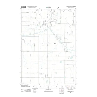
2012 Map of Dayton Center
USGS Topo · Published 2012About this map
The S Br White River meanders across this portion of Newaygo County, creating a central corridor through a landscape defined by its rural intersections and scattered water bodies. Local genealogy interests are well-served by the presence of Huber Cem, Bull Cem, and Lincoln Township Cem, which anchor the historical memory of these townships. Small clusters like Huber and Aetna represent the quiet settlement patterns of the region, while Dayton Center sits near the southern edge of the quadrangle. The terrain is marked by numerous streams including Black Cr and Martin Cr, feeding into larger pools such as Clarks Lake and Peterson Lake. This topography reveals a late twentieth-century Michigan countryside where agriculture and recreation, evidenced by the Northwood Golf Course, coexist alongside the original wetland and river systems.
Find a feature on this map
77 named features on this map. Tap any name to fly to it.
Don’t see what you’re looking for? This feature index may not catch every label — zoom into the map to look around manually.
Map Details
Editions of this 2012 Dayton Center Map
This is the sole edition of this map. No revisions or reprints were ever made.
Other maps of this area

1931 · Walkerville NE
USGS Topo · 1:31,680

1931 · Walkerville SE
USGS Topo · 1:31,680

1954 · Milwaukee
USGS Topo · 1:250,000

1954 · Midland
USGS Topo · 1:250,000

1958 · Midland
USGS Topo · 1:250,000

1958 · Milwaukee
USGS Topo · 1:250,000

1958 · Hesperia
USGS Topo · 1:62,500

1958 · Twin Lake
USGS Topo · 1:62,500

1958 · Fremont
USGS Topo · 1:62,500

1959 · Midland
USGS Topo · 1:250,000