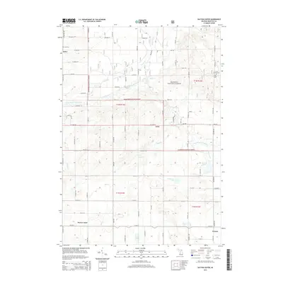
2014 Map of Dayton Center
USGS Topo · Published 2014About this map
The Manistee National Forest provides the backdrop for this portion of Newaygo County, where the South Branch White River winds through the central terrain. Small, dispersed settlements like Dayton Center, Aetna, and Huber anchor the local road network, which is defined by routes such as N Green Ave and W Baseline Rd. For those researching local lineages, the map identifies several burial grounds including Huber Cem in the north and the Lincoln Township Cem near the eastern boundary. The landscape is dotted with numerous kettle lakes and creeks, from the southern Clarks Lake and Dutch Lake to the waters of Blackberry Lake and Peterson Lake. This geography reflects a post-glaciated environment where water and woodland shaped the placement of early farms and rural communities.
Find a feature on this map
59 named features on this map. Tap any name to fly to it.
Don’t see what you’re looking for? This feature index may not catch every label — zoom into the map to look around manually.
Map Details
Editions of this 2014 Dayton Center Map
This is the sole edition of this map. No revisions or reprints were ever made.
Other maps of this area

1931 · Walkerville NE
USGS Topo · 1:31,680

1931 · Walkerville SE
USGS Topo · 1:31,680

1954 · Milwaukee
USGS Topo · 1:250,000

1954 · Midland
USGS Topo · 1:250,000

1958 · Midland
USGS Topo · 1:250,000

1958 · Milwaukee
USGS Topo · 1:250,000

1958 · Hesperia
USGS Topo · 1:62,500

1958 · Twin Lake
USGS Topo · 1:62,500

1958 · Fremont
USGS Topo · 1:62,500

1959 · Midland
USGS Topo · 1:250,000