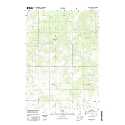
2017 Map of Dayton Center
USGS Topo · Published 2017About this map
The Manistee National Forest covers the northern reaches of this Newaygo County landscape, where the South Branch White River winds through dense woodlands. This 2017 survey details a rural area defined by its small settlements and scattered water bodies. The hamlets of Dayton Center, Aetna, and Wooster serve as local anchors for the surrounding agricultural and forest lands. Genealogists will find several burial grounds noted, including Huber Cem in the northwest and Bull Cem near the center of the quadrangle.
Find a feature on this map
80 named features on this map. Tap any name to fly to it.
Don’t see what you’re looking for? This feature index may not catch every label — zoom into the map to look around manually.
Map Details
Editions of this 2017 Dayton Center Map
This is the sole edition of this map. No revisions or reprints were ever made.
Other maps of this area

1931 · Walkerville NE
USGS Topo · 1:31,680

1931 · Walkerville SE
USGS Topo · 1:31,680

1954 · Milwaukee
USGS Topo · 1:250,000

1954 · Midland
USGS Topo · 1:250,000

1958 · Midland
USGS Topo · 1:250,000

1958 · Milwaukee
USGS Topo · 1:250,000

1958 · Hesperia
USGS Topo · 1:62,500

1958 · Twin Lake
USGS Topo · 1:62,500

1958 · Fremont
USGS Topo · 1:62,500

1959 · Midland
USGS Topo · 1:250,000