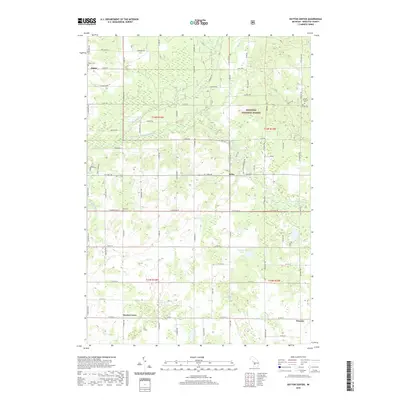
2019 Map of Dayton Center
USGS Topo · Published 2019About this map
The South Branch White River snakes through the heart of this landscape, anchoring a rural territory where the Manistee National Forest meets the scattered settlements of Newaygo County. This region is defined by a dense grid of township roads that connect small community hubs such as Dayton Center, Aetna, and Huber. For local history researchers, the map identifies key burial grounds like Huber Cem, Bull Cem, and Lincoln Cem, which often represent the earliest established points of neighborhood settlement. The terrain is notably water-rich, featuring numerous smaller bodies such as Blackberry Lake, Devils Lake, and Cook Lake, alongside tributaries like Martin Cr and Mena Cr. The presence of Wooster at the eastern edge and the transition between Lincoln Township and surrounding survey sections highlights the organized agricultural and timber-influenced growth that has shaped this portion of Michigan.
Find a feature on this map
79 named features on this map. Tap any name to fly to it.
Don’t see what you’re looking for? This feature index may not catch every label — zoom into the map to look around manually.
Map Details
Editions of this 2019 Dayton Center Map
This is the sole edition of this map. No revisions or reprints were ever made.
Other maps of this area

1931 · Walkerville NE
USGS Topo · 1:31,680

1931 · Walkerville SE
USGS Topo · 1:31,680

1954 · Milwaukee
USGS Topo · 1:250,000

1954 · Midland
USGS Topo · 1:250,000

1958 · Midland
USGS Topo · 1:250,000

1958 · Milwaukee
USGS Topo · 1:250,000

1958 · Hesperia
USGS Topo · 1:62,500

1958 · Twin Lake
USGS Topo · 1:62,500

1958 · Fremont
USGS Topo · 1:62,500

1959 · Midland
USGS Topo · 1:250,000