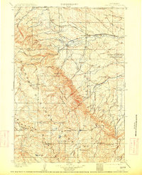
1901 Map of Dayton
USGS Topo · Published 1913About this map
The Bighorn Mountains dominate the western portion of this landscape, where the Bighorn National Forest boundary meets early ranching and mining frontiers. Surveyed at the turn of the century, the map captures a transition from the high peaks of Walker Mtn and Steamboat Pt. down into the fertile valleys of the Tongue River. Along the northern foothills, the Burlington and Missouri River RR links established settlements like Ranchester and Parkman, facilitating the transport of coal from several Coal Mines scattered across the eastern hills. The presence of the Fort Mackenzie Reservation and secluded sites like Tongue River Cabin and Morrow Ranch reflect the era's settlement patterns. Genealogists and local historians can trace early land use through named landmarks such as Beckton and the scattered homesteads following the paths of Wolf Creek and Little Goose Creek.
Find a feature on this map
65 named features on this map. Tap any name to fly to it.
Don’t see what you’re looking for? This feature index may not catch every label — zoom into the map to look around manually.
Map Details
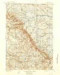
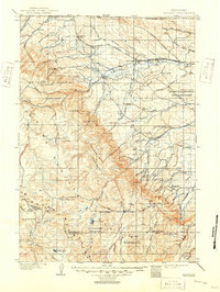
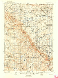
Editions of this 1901 Dayton Map
5 editions found
Other maps of this area

1894 · Rosebud
USGS Topo · 1:125,000

1894 · St. Xavier
USGS Topo · 1:125,000

1895 · Dayton
USGS Topo · 1:125,000

1898 · Bald Mountain
USGS Topo · 1:125,000

1899 · Cloud peak
USGS Topo · 1:125,000

1900 · Fort McKinney
USGS Topo · 1:125,000

1901 · Rosebud
USGS Topo · 1:125,000

1901 · Cloud Peak
USGS Topo · 1:125,000

1901 · Dayton
USGS Topo · 1:125,000

1901 · St. Xavier
USGS Topo · 1:125,000