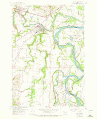
1957 Map of Dayton
USGS Topo · Published 1972About this map
Yamhill River and Willamette River dominate this mid-century landscape where Yamhill and Marion counties meet. The confluence and its shifting riverbed are documented through numerous named bars and landings, such as Weston Landing and Duke Landing, reflecting an era when the river served as a primary artery for commerce and leisure. The town of Dayton sits at the center, supported by the Southern Pacific rail line and Dayton Sta. This survey captures the agricultural transition of the French Prairie and the Red Hills of Dundee, noting community fixtures like the Webfoot Grange Hall and Grand Island Sch. Land use patterns are further illustrated by the Riverwood Golf Course and the recreational San Salvador Beach, while the Yamhill Locks Park stands as a landmark of earlier river navigation history.
Find a feature on this map
58 named features on this map. Tap any name to fly to it.
Don’t see what you’re looking for? This feature index may not catch every label — zoom into the map to look around manually.
Map Details
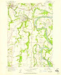
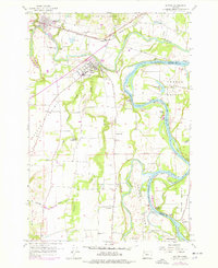
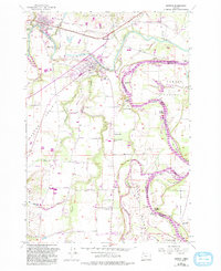
Editions of this 1957 Dayton Map
4 editions found
Other maps of this area

1916 · Tualatin
USGS Topo · 1:62,500

1923 · Mount Angel
USGS Topo · 1:62,500

1924 · Mc Minnville
USGS Topo · 1:48,000

1926 · Mc Minnville
USGS Topo · 1:62,500

1939 · Tualatin
USGS Topo · 1:62,500

1940 · McMinnville
USGS Topo · 1:62,500

1940 · Tualatin
USGS Topo · 1:62,500

1940 · Mount Angel
USGS Topo · 1:62,500

1941 · Yamhill
USGS Topo · 1:62,500

1942 · Yamhill
USGS Topo · 1:62,500