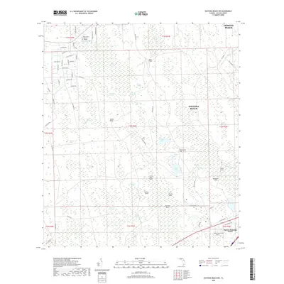
2018 Map of Daytona Beach NW
USGS Topo · Published 2018About this map
Tiger Bay and its extensive network of wetlands dominate this area of Volusia County, where the landscape is defined by a complex mosaic of strands, bays, and ridges. The 2018 survey reveals a territory transitioning from the dense hydrological features of the Long Swamp and Sawgrass Strand to the emerging residential development seen in Daytona Highridge Estates. Geographically distinctive names like Stooping Saplings, Burnt Out Bay, and Dark Entry point to a landscape with a unique local character, while landmarks such as Cross Creek Farms Airport indicate specialized land use.
Find a feature on this map
76 named features on this map. Tap any name to fly to it.
Don’t see what you’re looking for? This feature index may not catch every label — zoom into the map to look around manually.
Map Details
Editions of this 2018 Daytona Beach NW Map
This is the sole edition of this map. No revisions or reprints were ever made.
Other maps of this area

1937 · Ormond
USGS Topo · 1:48,000

1944 · Ormond
USGS Topo · 1:62,500

1952 · Samsula
USGS Topo · 1:24,000

1952 · Daytona Beach
USGS Topo · 1:24,000

1954 · Daytona Beach
USGS Topo · 1:250,000

1956 · Favoretta
USGS Topo · 1:24,000

1956 · Ormond Beach
USGS Topo · 1:24,000

1958 · Daytona Beach
USGS Topo · 1:250,000

1962 · Daytona Beach NW
USGS Topo · 1:24,000

1962 · Daytona Beach SW
USGS Topo · 1:24,000