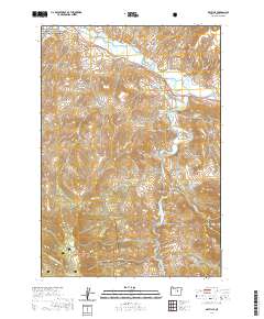
2020 Map of Dayville
USGS Topo · Published 2020About this map
The settlement of Dayville sits at the confluence of the John Day River and the S Fork John Day River, serving as a central hub for the surrounding ranching and wilderness areas. This modern survey illustrates the complex water management of the region, featuring irrigation infrastructure like Throop Ditch and Cummings Ditch alongside several small upland catchments such as Nash Reservoir and Conner Cr Reservoir. The northern boundary includes a portion of the John Day Fossil Beds National Monument, while the southern reaches extend into the Ochoco National Forest. Genealogical interest centers on the Dayville Cem located north of the townsite. The terrain is marked by numerous named basins and springs, including McNulty Basin and Fort Basin Springs, indicating a landscape where water sources dictate both natural features and human habitation patterns.
Find a feature on this map
45 named features on this map. Tap any name to fly to it.
Don’t see what you’re looking for? This feature index may not catch every label — zoom into the map to look around manually.
Map Details
Editions of this 2020 Dayville Map
This is the sole edition of this map. No revisions or reprints were ever made.
Other maps of this area

1932 · Dayville
USGS Topo · 1:125,000

1936 · Dayville
USGS Topo · 1:125,000

1940 · Aldrich Mtn.
USGS Topo · 1:62,500

1943 · Aldrich Mtn.
USGS Topo · 1:62,500

1951 · Courtrock
USGS Topo · 1:62,500

1953 · Picture
USGS Topo · 1:62,500

1955 · Canyon City
USGS Topo · 1:250,000

1959 · Canyon City
USGS Topo · 1:250,000

1972 · Wolf Mountain
USGS Topo · 1:24,000

1972 · Day Basin
USGS Topo · 1:24,000