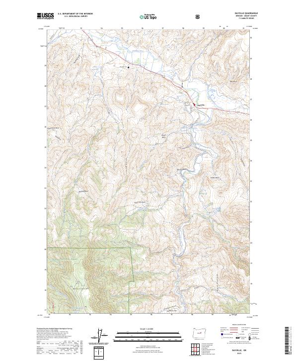
2023 Map of Dayville
USGS Topo · Published 2023About this map
Dayville serves as the central hub of this high-desert landscape in Grant County, situated at the confluence of the John Day River and its south fork. The map illustrates a ranching and agricultural economy dependent on complex water management, shown through the presence of the Throop Ditch and Cummings Ditch. To the south, the terrain rises sharply into the Aldrich Mountains and the timbered slopes of the Ochoco National Forest, where the Ochoco Mountain Trail winds through the high country. Local history and genealogy interests are anchored by the Dayville Cem and various named landmarks like Keeton Spring and McIntire Basin. The presence of several reservoirs, including Nash Reservoir and Battle Cr Mountain Reservoir, highlights the critical role of water storage in this arid region of Eastern Oregon.
Find a feature on this map
59 named features on this map. Tap any name to fly to it.
Don’t see what you’re looking for? This feature index may not catch every label — zoom into the map to look around manually.
Map Details
Editions of this 2023 Dayville Map
This is the sole edition of this map. No revisions or reprints were ever made.
Other maps of this area

1932 · Dayville
USGS Topo · 1:125,000

1936 · Dayville
USGS Topo · 1:125,000

1940 · Aldrich Mtn.
USGS Topo · 1:62,500

1943 · Aldrich Mtn.
USGS Topo · 1:62,500

1951 · Courtrock
USGS Topo · 1:62,500

1953 · Picture
USGS Topo · 1:62,500

1955 · Canyon City
USGS Topo · 1:250,000

1959 · Canyon City
USGS Topo · 1:250,000

1972 · Wolf Mountain
USGS Topo · 1:24,000

1972 · Day Basin
USGS Topo · 1:24,000