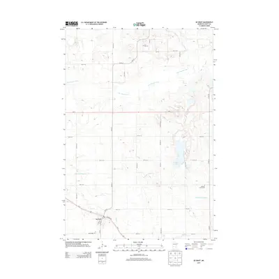
2013 Map of De Graff
USGS Topo · Published 2013About this map
The town of De Graff serves as the focal point for this rural Swift County landscape, where the local economy and geography are defined by the E Br Chippewa River and its tributaries. The settlement pattern follows a rigid grid of section-line roads, such as Co HWY-31, punctuated by historic parish sites and burial grounds like Saint Pauli Cem, Bethesda Lutheran Cem, and Saint Bridget Cem. This 2013 survey illustrates the complex water management of the region, including the Hollerberg Lake and the engineered Hollerberg Floodway, which regulates flow across the prairie. The transportation network is anchored by Us-12 and Atlantic Ave, reflecting the enduring importance of these corridors for moving agricultural goods through the river valley and beyond Mud Cr.
Find a feature on this map
37 named features on this map. Tap any name to fly to it.
Don’t see what you’re looking for? This feature index may not catch every label — zoom into the map to look around manually.
Map Details
Editions of this 2013 De Graff Map
This is the sole edition of this map. No revisions or reprints were ever made.
Other maps of this area

1953 · Saint Cloud
USGS Topo · 1:250,000

1957 · Saint Cloud
USGS Topo · 1:250,000

1958 · Saint Cloud
USGS Topo · 1:250,000

1958 · Murdock
USGS Topo · 1:24,000

1958 · Gracelock NE
USGS Topo · 1:24,000

1958 · Kerkhoven
USGS Topo · 1:24,000

1968 · De Graff
USGS Topo · 1:24,000

1968 · Lake Hassel
USGS Topo · 1:24,000

1968 · Benson
USGS Topo · 1:24,000

1968 · Lake Simon
USGS Topo · 1:24,000