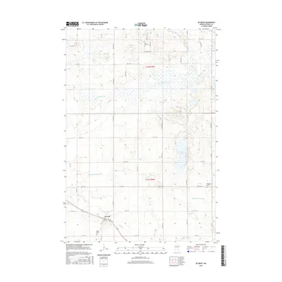
2016 Map of De Graff
USGS Topo · Published 2016About this map
De Graff serves as the primary settlement on this central Minnesota landscape, clustered near the junction of Atlantic Ave and the regional rail line. The surrounding countryside is defined by an intricate network of water management and natural drainage, featuring the E Br Chippewa River and the expansive Hollerberg Lake. Significant effort in water control is evident through the designated Hollerberg Floodway, which meanders through the township boundaries of T121N R38W and T122N R38W. Genealogists and local historians will find several key burial sites preserved here, including the Saint Bridget Cem located just south of the main town site, and the Bethesda Lutheran Cem situated further east near the floodway. Smaller waterways like Mad Cr and Mud Cr lace through the agricultural sections, illustrating the rural character of Swift County in the early 21st century.
Find a feature on this map
22 named features on this map. Tap any name to fly to it.
Don’t see what you’re looking for? This feature index may not catch every label — zoom into the map to look around manually.
Map Details
Editions of this 2016 De Graff Map
This is the sole edition of this map. No revisions or reprints were ever made.
Other maps of this area

1953 · Saint Cloud
USGS Topo · 1:250,000

1957 · Saint Cloud
USGS Topo · 1:250,000

1958 · Saint Cloud
USGS Topo · 1:250,000

1958 · Murdock
USGS Topo · 1:24,000

1958 · Gracelock NE
USGS Topo · 1:24,000

1958 · Kerkhoven
USGS Topo · 1:24,000

1968 · De Graff
USGS Topo · 1:24,000

1968 · Lake Hassel
USGS Topo · 1:24,000

1968 · Benson
USGS Topo · 1:24,000

1968 · Lake Simon
USGS Topo · 1:24,000