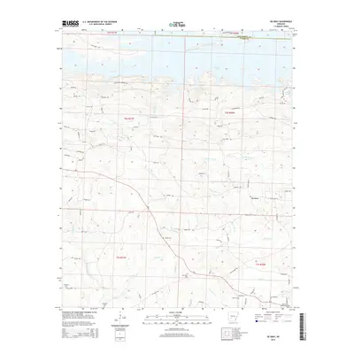
2014 Map of De Gray
USGS Topo · Published 2014About this map
De Gray Lake dominates the northern landscape of this Clark County region, created by the damming of the Caddo River beyond the map's edge. The surrounding terrain is a network of ridges and drainages including Little De Gray Cr, White Oak Cr, and Deceiper Cr. For those tracing local families, the map is punctuated by numerous burial sites such as Degray Cem, Golden Cem, and the Wingfield Cem near Wingfield Cr. The settlement of De Gray sits at a crossroads south of the lake, serving as a focal point for a rural community connected by historic routes like Military Rd and the Old Tram Rd. The southern portion transitions into lower drainage basins where Little Deceiper Cr and Flat Cr meander through the timbered landscape, reflecting the area's long-standing reliance on its water systems and forestry.
Find a feature on this map
67 named features on this map. Tap any name to fly to it.
Don’t see what you’re looking for? This feature index may not catch every label — zoom into the map to look around manually.
Map Details
Editions of this 2014 De Gray Map
This is the sole edition of this map. No revisions or reprints were ever made.
Other maps of this area

1943 · Antoine
USGS Topo · 1:62,500

1955 · Little Rock
USGS Topo · 1:250,000

1956 · Little Rock
USGS Topo · 1:250,000

1959 · Caddo Valley
USGS Topo · 1:24,000

1959 · Arkadelphia
USGS Topo · 1:24,000

1960 · Little Rock
USGS Topo · 1:250,000

1964 · Little Rock
USGS Topo · 1:250,000

1966 · De Roche
USGS Topo · 1:24,000
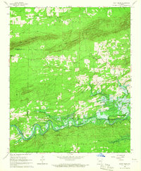
1966 · Point Cedar
USGS Topo · 1:24,000
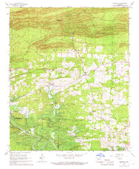
1966 · Bismarck
USGS Topo · 1:24,000