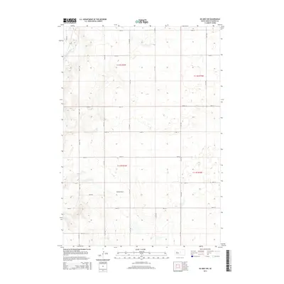
2015 Map of De Grey NW
USGS Topo · Published 2015About this map
Medicine Knoll Creek cuts through the northwest corner of this Hughes County landscape, defining the local drainage pattern in an otherwise open stretch of the South Dakota prairie. The terrain is marked by gentle undulations and seasonal watercourses, most notably the wide basin of Dehart Draw in the central-south portion of the survey. The rectangular grid of section lines is articulated by a network of rural roads including Runge Rd and Dixon Rd, which provide access to the vast agricultural sections of T111N and T112N. This 2015 survey reflects a classic Great Plains land-use pattern, where the geometry of the Public Land Survey System dictated development and transport long after the initial settlement era.
Find a feature on this map
22 named features on this map. Tap any name to fly to it.
Don’t see what you’re looking for? This feature index may not catch every label — zoom into the map to look around manually.
Map Details
Editions of this 2015 De Grey NW Map
This is the sole edition of this map. No revisions or reprints were ever made.
Other maps of this area

1934 · Canning
USGS Topo · 1:48,000

1937 · Canning
USGS Topo · 1:62,500

1953 · Huron
USGS Topo · 1:250,000

1954 · Pierre
USGS Topo · 1:250,000

1954 · Huron
USGS Topo · 1:250,000

1958 · Pierre
USGS Topo · 1:250,000

1967 · Canning
USGS Topo · 1:24,000

1967 · Onida SE
USGS Topo · 1:24,000

1967 · Blunt
USGS Topo · 1:24,000

1967 · Blunt SE
USGS Topo · 1:24,000