
1967 Map of Blunt SE
USGS Topo · Published 1968About this map
Medicine Knoll rises as a prominent landmark above the winding waterways of the South Dakota prairie in this late 1960s topographic study. The landscape is defined by the drainage patterns of Medicine Creek and the South Fork Medicine Knoll Creek, which carve intricate coulees through the high plains. This map was produced as part of the Department of the Interior program for the development of the Missouri River Basin, reflecting a period of intensive land management and surveying in the region. The map captures the agricultural and hydrologic character of the border between Sully and Hughes counties, showing the relationship between the elevated knolls and the riparian corridors that dictated early land use and movement through this part of the Great Plains.
Find a feature on this map
3 named features on this map. Tap any name to fly to it.
Don’t see what you’re looking for? This feature index may not catch every label — zoom into the map to look around manually.
Map Details
Editions of this 1967 Blunt SE Map
This is the sole edition of this map. No revisions or reprints were ever made.
Other maps of this area

1953 · Huron
USGS Topo · 1:250,000

1954 · Huron
USGS Topo · 1:250,000

1967 · Blunt
USGS Topo · 1:24,000

1967 · De Grey NE
USGS Topo · 1:24,000
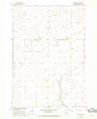
1967 · Blunt NW
USGS Topo · 1:24,000

1967 · Blunt NE
USGS Topo · 1:24,000
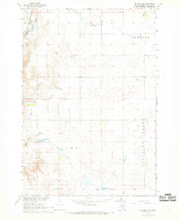
1967 · De Grey NW
USGS Topo · 1:24,000

1968 · Harrold NW
USGS Topo · 1:24,000

1968 · Harrold
USGS Topo · 1:24,000
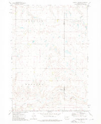
1973 · Chapelle Lake NW
USGS Topo · 1:24,000