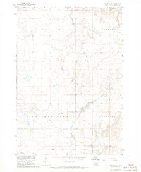
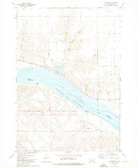
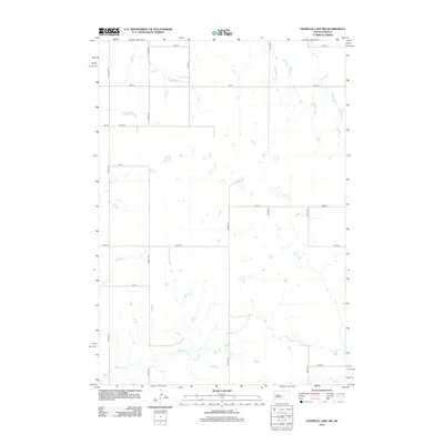
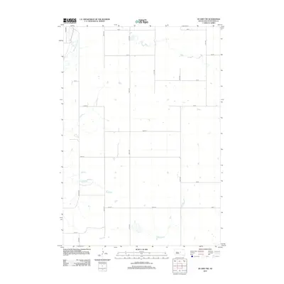
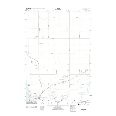
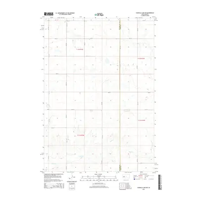
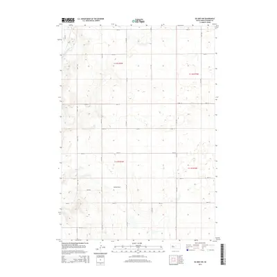
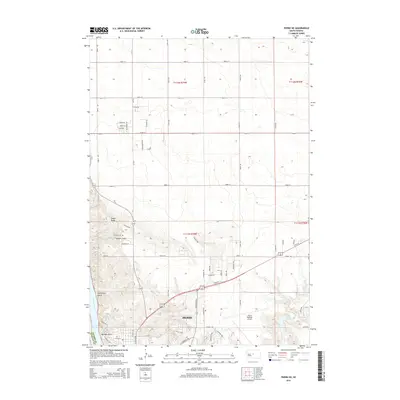
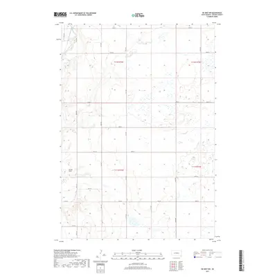
1967 Map of De Grey NE
USGS Topo · Published 1968About this map
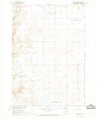
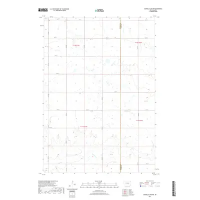
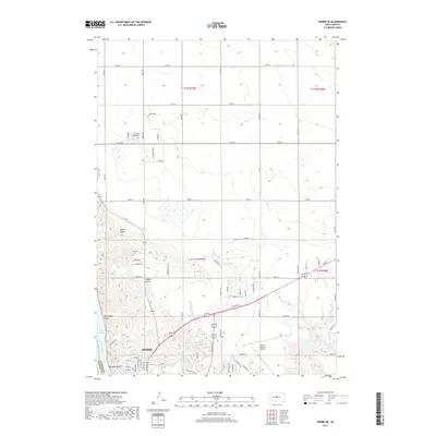
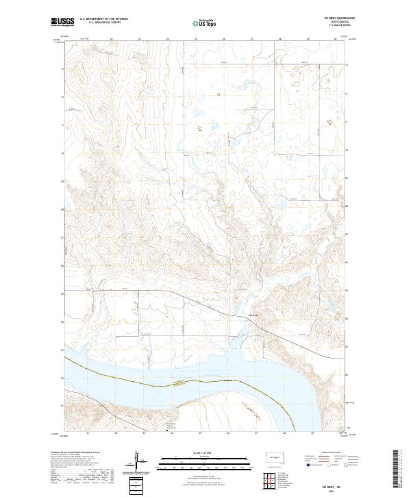
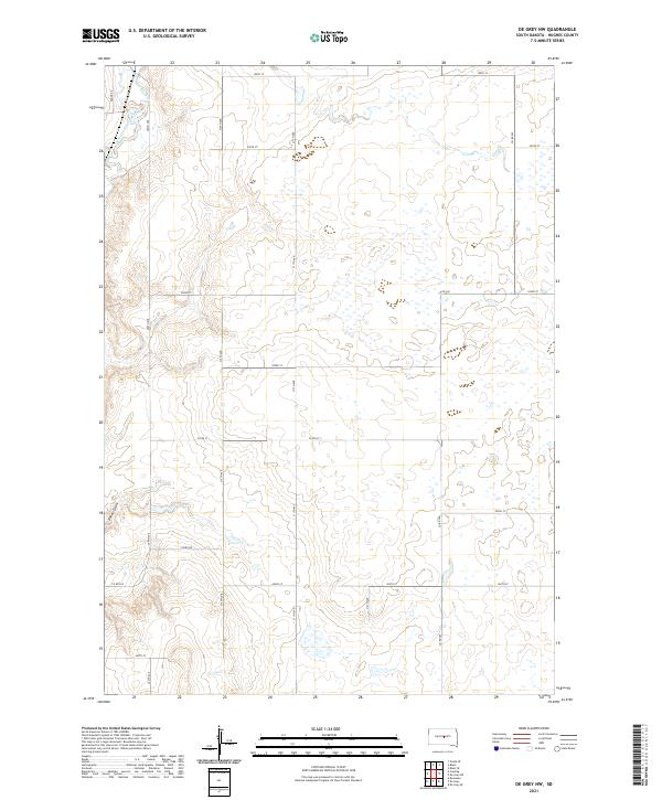
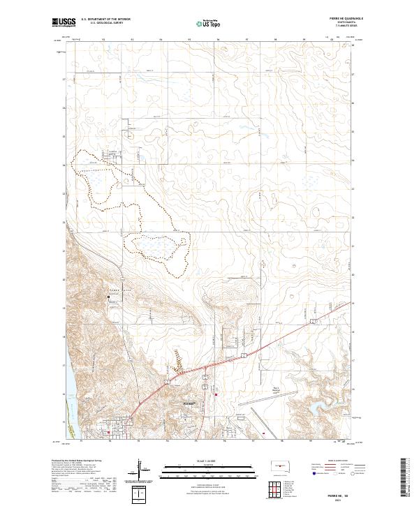
Old Indian Treaty Boundary slices across the southern portion of this Hughes County landscape, marking a significant historical line in the central South Dakota prairie. The terrain is characterized by the broad depressions of Pleasant Valley and Webster, where the seasonal flow of Chapelle Creek meanders toward the south. This 1967 field-checked survey captures a rural landscape defined by township grids and scattered local landmarks like Beth Eden Sch, which serves as a focal point for the surrounding agricultural community. To the north, the elevation rises into the high ground of Brett On and Harrold, while Woodruff Lake sits near the northeastern corner. The presence of a Gravel Pit near the creek suggests the localized extractive activity supporting road development in this part of the Missouri River Basin project area.
Find a feature on this map
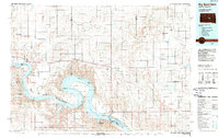
10 named features on this map. Tap any name to fly to it.
Don’t see what you’re looking for? This feature index may not catch every label — zoom into the map to look around manually.
Map Details
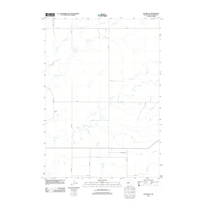
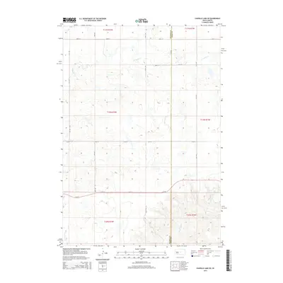
Editions of this 1967 De Grey NE Map
This is the sole edition of this map. No revisions or reprints were ever made.
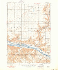
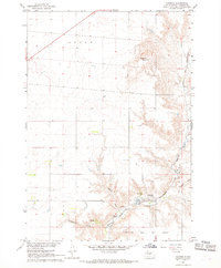
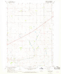
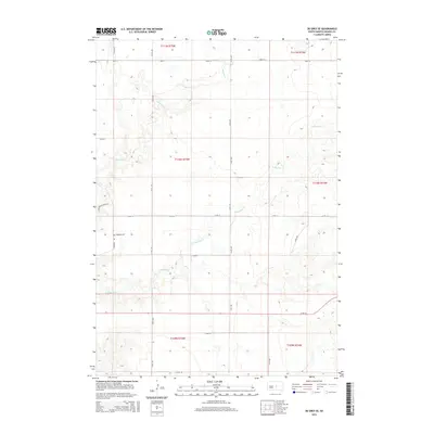
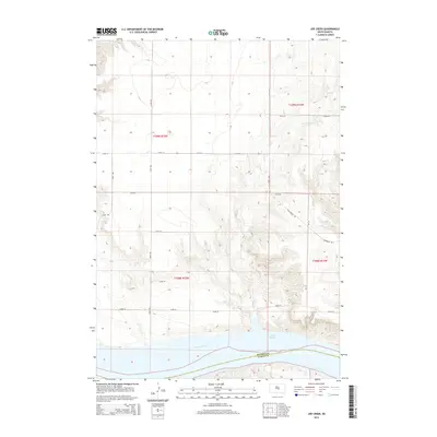
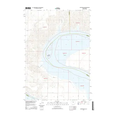
Historical Maps of Hughes County Through Time
63 maps found

1934 Canning
Hughes County, SD
1937 Canning
Hughes County, SD

1966 Joe Creek
Hughes County, SD

1966 Lower Brule NW
Hughes County, SD
1967 Canning
Hughes County, SD
1967 Canning NW
Hughes County, SD
1967 De Grey NE
Hughes County, SD
1967 De Grey NW
Hughes County, SD

1967 Pierre NE
Hughes County, SD
1973 Chapelle Lake NW
Hughes County, SD

1973 Chapelle Lake SW
Hughes County, SD
1973 De Grey
Hughes County, SD
1973 De Grey SE
Hughes County, SD
1973 Rousseau
Hughes County, SD
1985 Big Bend Dam
Hughes County, SD
2012 Canning
Hughes County, SD
2012 Canning NW
Hughes County, SD
2012 Chapelle Lake NW
Hughes County, SD
2012 Chapelle Lake SW
Hughes County, SD
2012 De Grey
Hughes County, SD
2012 De Grey NE
Hughes County, SD
2012 De Grey NW
Hughes County, SD
2012 De Grey SE
Hughes County, SD
2012 Joe Creek
Hughes County, SD
2012 Lower Brule NW
Hughes County, SD
2012 Pierre NE
Hughes County, SD
2012 Rousseau
Hughes County, SD
2015 Canning
Hughes County, SD
2015 Canning NW
Hughes County, SD
2015 Chapelle Lake NW
Hughes County, SD
2015 Chapelle Lake SW
Hughes County, SD
2015 De Grey
Hughes County, SD
2015 De Grey NE
Hughes County, SD
2015 De Grey NW
Hughes County, SD
2015 De Grey SE
Hughes County, SD
2015 Joe Creek
Hughes County, SD
2015 Lower Brule NW
Hughes County, SD
2015 Pierre NE
Hughes County, SD
2015 Rousseau
Hughes County, SD
2017 Canning
Hughes County, SD
2017 Canning NW
Hughes County, SD
2017 Chapelle Lake NW
Hughes County, SD
2017 Chapelle Lake SW
Hughes County, SD
2017 De Grey
Hughes County, SD
2017 De Grey NE
Hughes County, SD
2017 De Grey NW
Hughes County, SD
2017 De Grey SE
Hughes County, SD
2017 Joe Creek
Hughes County, SD
2017 Lower Brule NW
Hughes County, SD
2017 Pierre NE
Hughes County, SD
2017 Rousseau
Hughes County, SD
2021 Canning
Hughes County, SD
2021 Canning NW
Hughes County, SD
2021 Chapelle Lake NW
Hughes County, SD
2021 Chapelle Lake SW
Hughes County, SD
2021 De Grey
Hughes County, SD
2021 De Grey NE
Hughes County, SD
2021 De Grey NW
Hughes County, SD
2021 De Grey SE
Hughes County, SD
2021 Joe Creek
Hughes County, SD
2021 Lower Brule NW
Hughes County, SD
2021 Pierre NE
Hughes County, SD
2021 Rousseau
Hughes County, SD