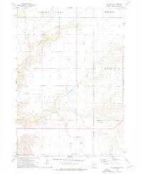
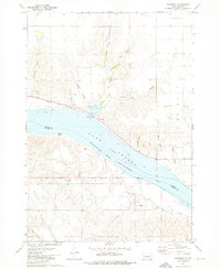
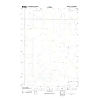
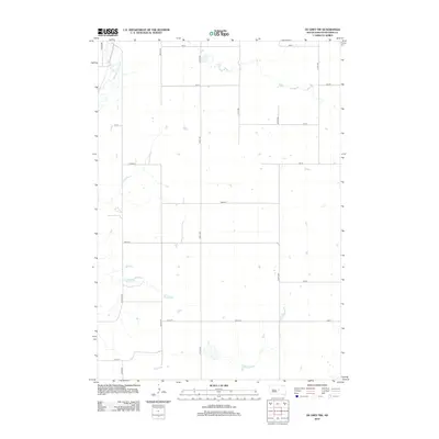
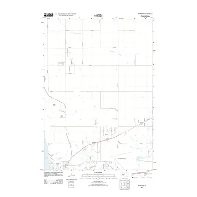
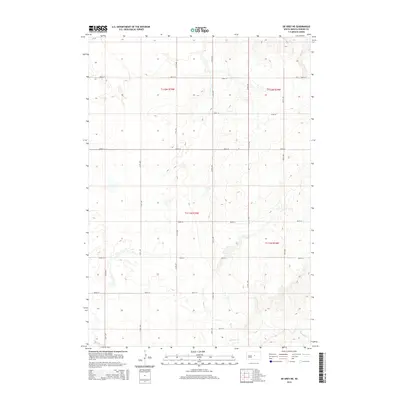
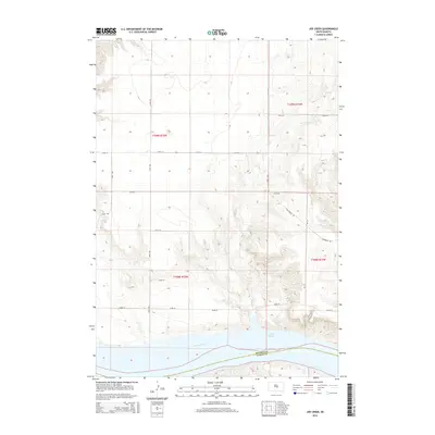
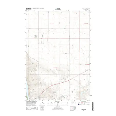
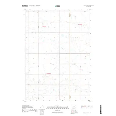
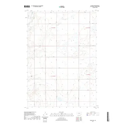
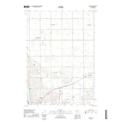
1973 Map of De Grey SE
USGS Topo · Published 1976About this map
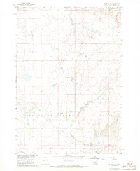
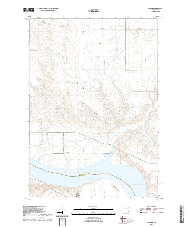
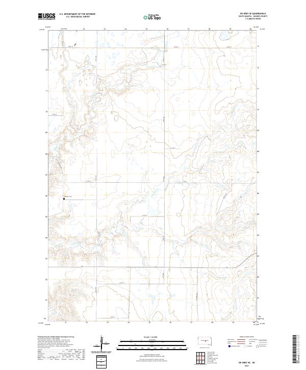
Pleasant Valley and the surrounding plains of Hughes County are defined by a complex network of seasonal drainages and prairie landmarks in the early 1970s. The landscape is carved by Chapelle Creek and its tributary, South Chapelle Creek, which meander through the central and western portions of the quadrangle. In the southeast, the Crow Creek Indian Reservation Boundary marks a significant jurisdictional line across the prairie. This area reflects a traditional rural settlement pattern centered on community landmarks such as the Raber Sch and Chapelle Cem. To the northeast, the prominent rise of Webster Butte stands over the valley floor, while evidence of local industry is seen at a small Gravel Pit near the northern border.
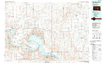
Find a feature on this map
10 named features on this map. Tap any name to fly to it.
Don’t see what you’re looking for? This feature index may not catch every label — zoom into the map to look around manually.
Map Details
Editions of this 1973 De Grey SE Map
This is the sole edition of this map. No revisions or reprints were ever made.
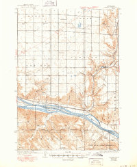
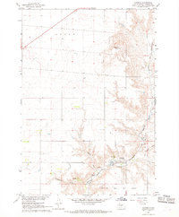
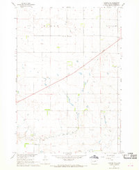
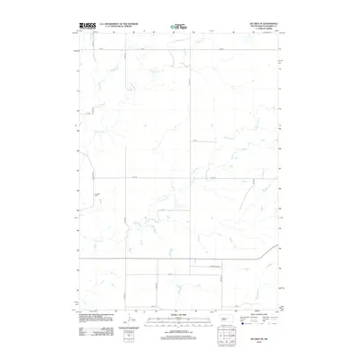
Historical Maps of Big Bend District Through Time
63 maps found

1934 Canning
Hughes County, SD
1937 Canning
Hughes County, SD

1966 Joe Creek
Hughes County, SD

1966 Lower Brule NW
Hughes County, SD
1967 Canning
Hughes County, SD
1967 Canning NW
Hughes County, SD
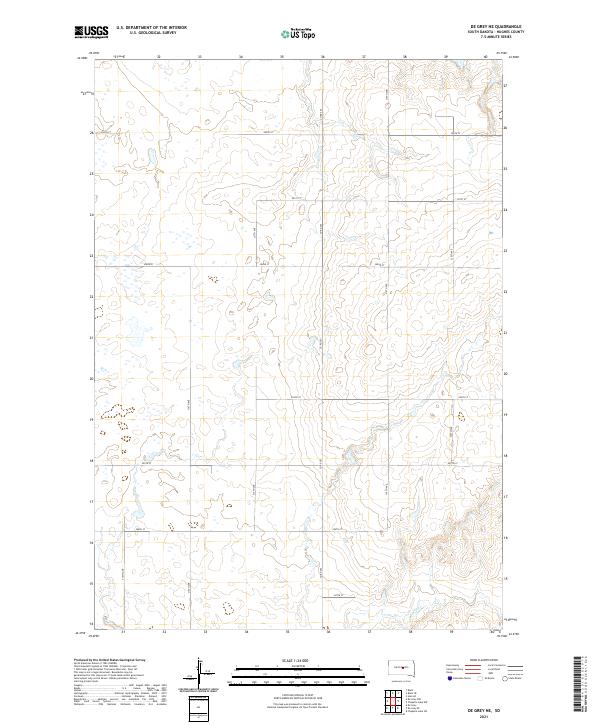
1967 De Grey NE
Hughes County, SD
1967 De Grey NW
Hughes County, SD

1967 Pierre NE
Hughes County, SD
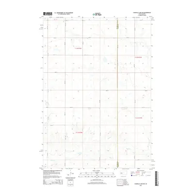
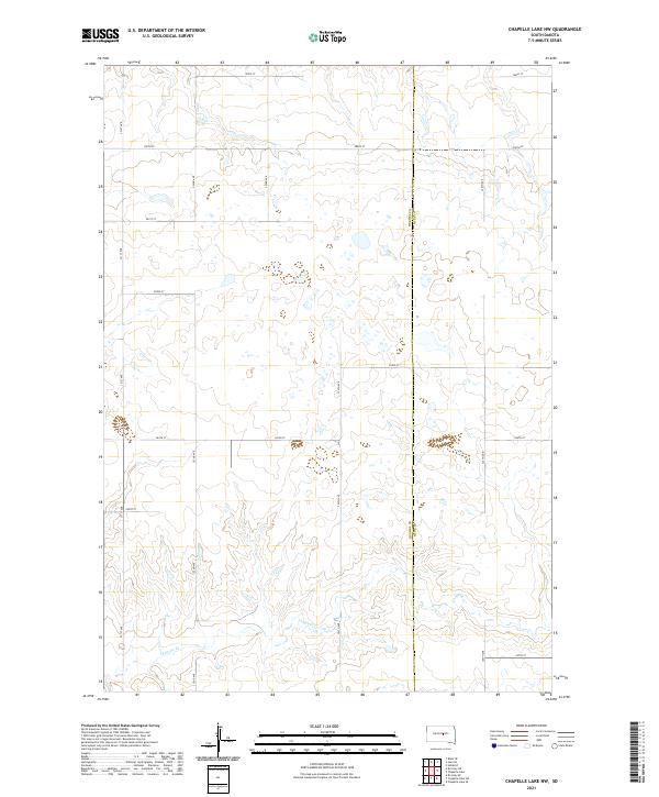
1973 Chapelle Lake NW
Hughes County, SD

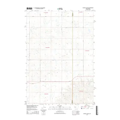
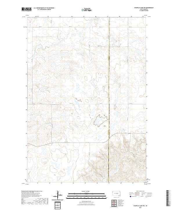
1973 Chapelle Lake SW
Hughes County, SD
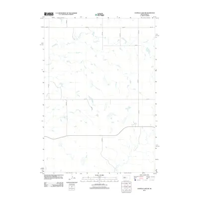
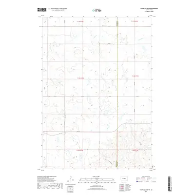
1973 De Grey
Hughes County, SD
1973 De Grey SE
Hughes County, SD
1973 Rousseau
Hughes County, SD
1985 Big Bend Dam
Hughes County, SD
2012 Canning
Hughes County, SD
2012 Canning NW
Hughes County, SD
2012 Chapelle Lake NW
Hughes County, SD
2012 Chapelle Lake SW
Hughes County, SD
2012 De Grey
Hughes County, SD
2012 De Grey NE
Hughes County, SD
2012 De Grey NW
Hughes County, SD
2012 De Grey SE
Hughes County, SD
2012 Joe Creek
Hughes County, SD
2012 Lower Brule NW
Hughes County, SD
2012 Pierre NE
Hughes County, SD
2012 Rousseau
Hughes County, SD
2015 Canning
Hughes County, SD
2015 Canning NW
Hughes County, SD
2015 Chapelle Lake NW
Hughes County, SD
2015 Chapelle Lake SW
Hughes County, SD
2015 De Grey
Hughes County, SD
2015 De Grey NE
Hughes County, SD
2015 De Grey NW
Hughes County, SD
2015 De Grey SE
Hughes County, SD
2015 Joe Creek
Hughes County, SD
2015 Lower Brule NW
Hughes County, SD
2015 Pierre NE
Hughes County, SD
2015 Rousseau
Hughes County, SD
2017 Canning
Hughes County, SD
2017 Canning NW
Hughes County, SD
2017 Chapelle Lake NW
Hughes County, SD
2017 Chapelle Lake SW
Hughes County, SD
2017 De Grey
Hughes County, SD
2017 De Grey NE
Hughes County, SD
2017 De Grey NW
Hughes County, SD
2017 De Grey SE
Hughes County, SD
2017 Joe Creek
Hughes County, SD
2017 Lower Brule NW
Hughes County, SD
2017 Pierre NE
Hughes County, SD
2017 Rousseau
Hughes County, SD
2021 Canning
Hughes County, SD
2021 Canning NW
Hughes County, SD
2021 Chapelle Lake NW
Hughes County, SD
2021 Chapelle Lake SW
Hughes County, SD
2021 De Grey
Hughes County, SD
2021 De Grey NE
Hughes County, SD
2021 De Grey NW
Hughes County, SD
2021 De Grey SE
Hughes County, SD
2021 Joe Creek
Hughes County, SD
2021 Lower Brule NW
Hughes County, SD
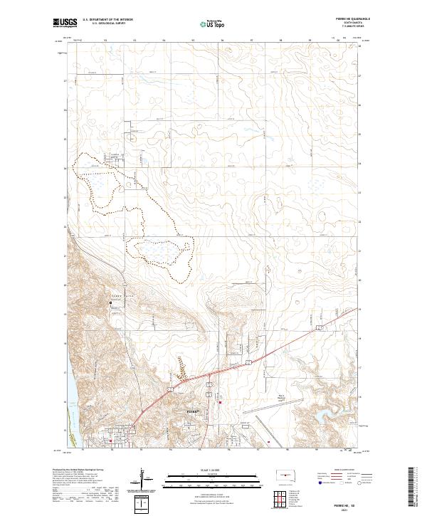
2021 Pierre NE
Hughes County, SD
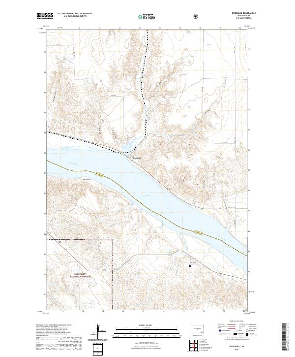
2021 Rousseau
Hughes County, SD