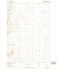
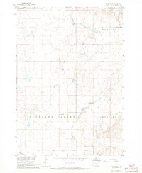
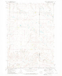
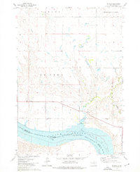
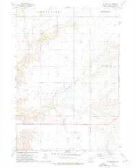
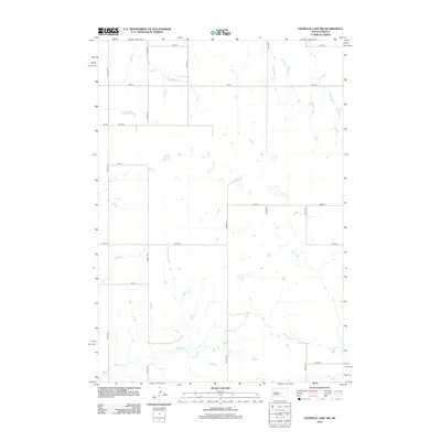
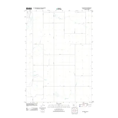
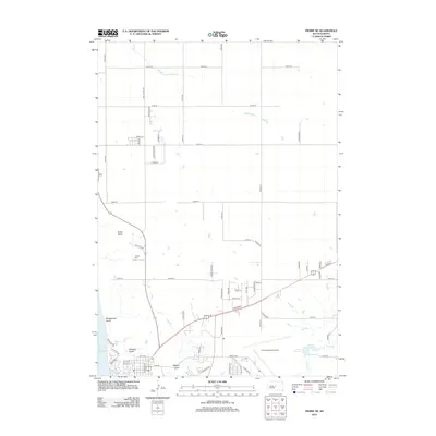
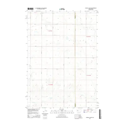
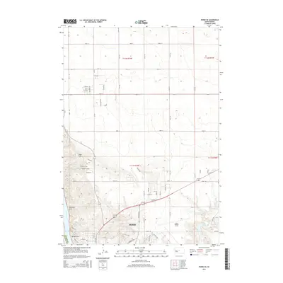
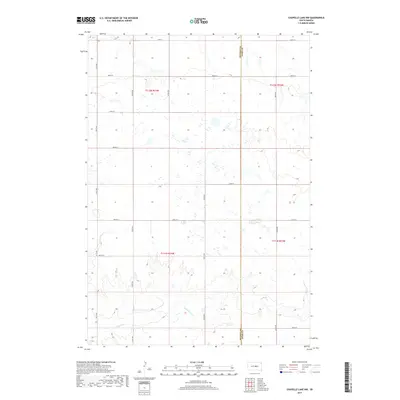
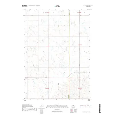
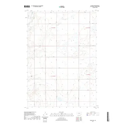
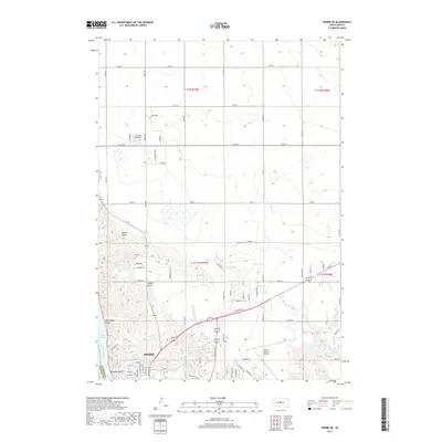
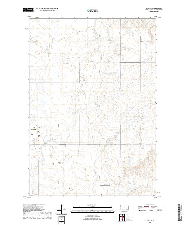
1967 Map of De Grey NW
USGS Topo · Published 1969About this map
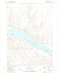
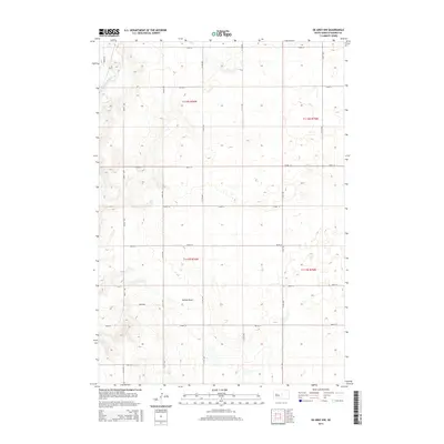
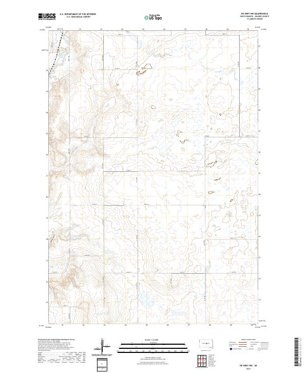
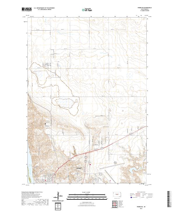
Pleasant Valley defines the southern portion of this Hughes County landscape, where the seasonal drainage of Dehart Draw cuts through the high plains. The topography is shaped by the wide basin of Medicine Knoll Creek in the northwest corner, a corridor followed by the Chicago and North Western railroad. This 1960s survey provides a clear view of the rural infrastructure during the development of the Missouri River Basin, including the isolated Valley Sch and a handful of Gravel Pit excavations that supported local road building.
Find a feature on this map
9 named features on this map. Tap any name to fly to it.
Don’t see what you’re looking for? This feature index may not catch every label — zoom into the map to look around manually.
Map Details
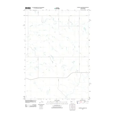
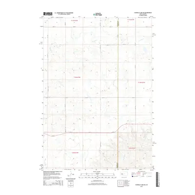
Editions of this 1967 De Grey NW Map
This is the sole edition of this map. No revisions or reprints were ever made.
Historical Maps of Hughes County Through Time
63 maps found

1934 Canning
Hughes County, SD
1937 Canning
Hughes County, SD

1966 Joe Creek
Hughes County, SD

1966 Lower Brule NW
Hughes County, SD
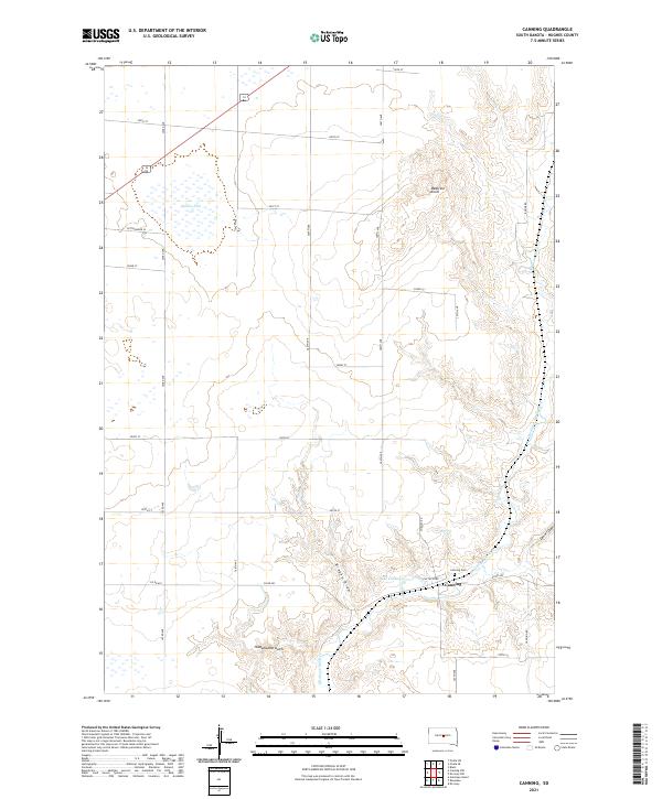
1967 Canning
Hughes County, SD
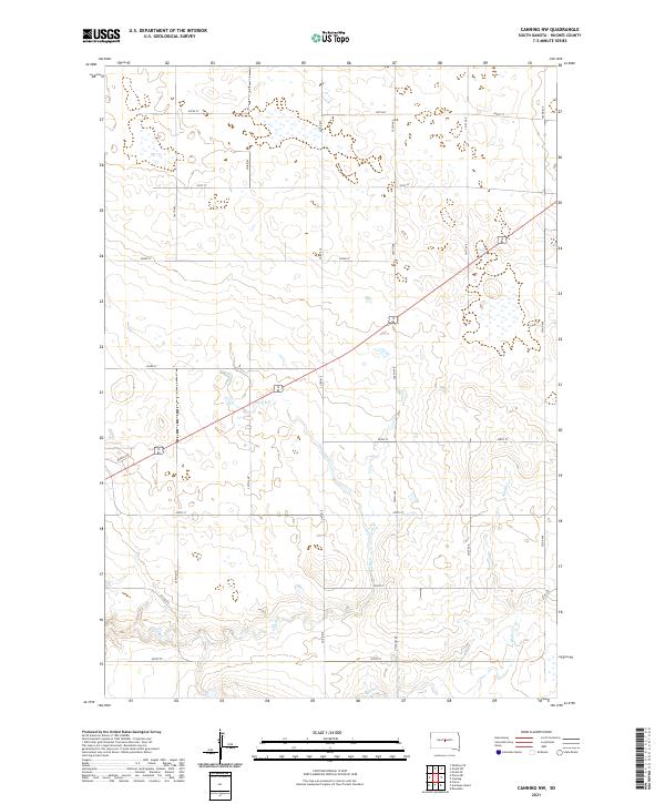
1967 Canning NW
Hughes County, SD
1967 De Grey NE
Hughes County, SD
1967 De Grey NW
Hughes County, SD

1967 Pierre NE
Hughes County, SD
1973 Chapelle Lake NW
Hughes County, SD

1973 Chapelle Lake SW
Hughes County, SD
1973 De Grey
Hughes County, SD
1973 De Grey SE
Hughes County, SD
1973 Rousseau
Hughes County, SD
1985 Big Bend Dam
Hughes County, SD
2012 Canning
Hughes County, SD
2012 Canning NW
Hughes County, SD
2012 Chapelle Lake NW
Hughes County, SD
2012 Chapelle Lake SW
Hughes County, SD
2012 De Grey
Hughes County, SD
2012 De Grey NE
Hughes County, SD
2012 De Grey NW
Hughes County, SD
2012 De Grey SE
Hughes County, SD
2012 Joe Creek
Hughes County, SD
2012 Lower Brule NW
Hughes County, SD
2012 Pierre NE
Hughes County, SD
2012 Rousseau
Hughes County, SD
2015 Canning
Hughes County, SD
2015 Canning NW
Hughes County, SD
2015 Chapelle Lake NW
Hughes County, SD
2015 Chapelle Lake SW
Hughes County, SD
2015 De Grey
Hughes County, SD
2015 De Grey NE
Hughes County, SD
2015 De Grey NW
Hughes County, SD
2015 De Grey SE
Hughes County, SD
2015 Joe Creek
Hughes County, SD
2015 Lower Brule NW
Hughes County, SD
2015 Pierre NE
Hughes County, SD
2015 Rousseau
Hughes County, SD
2017 Canning
Hughes County, SD
2017 Canning NW
Hughes County, SD
2017 Chapelle Lake NW
Hughes County, SD
2017 Chapelle Lake SW
Hughes County, SD
2017 De Grey
Hughes County, SD
2017 De Grey NE
Hughes County, SD
2017 De Grey NW
Hughes County, SD
2017 De Grey SE
Hughes County, SD
2017 Joe Creek
Hughes County, SD
2017 Lower Brule NW
Hughes County, SD
2017 Pierre NE
Hughes County, SD
2017 Rousseau
Hughes County, SD
2021 Canning
Hughes County, SD
2021 Canning NW
Hughes County, SD
2021 Chapelle Lake NW
Hughes County, SD
2021 Chapelle Lake SW
Hughes County, SD
2021 De Grey
Hughes County, SD
2021 De Grey NE
Hughes County, SD
2021 De Grey NW
Hughes County, SD
2021 De Grey SE
Hughes County, SD
2021 Joe Creek
Hughes County, SD
2021 Lower Brule NW
Hughes County, SD
2021 Pierre NE
Hughes County, SD
2021 Rousseau
Hughes County, SD