
1967 Map of Blunt NE
USGS Topo · Published 1968About this map
Medicine Knoll Creek meanders through this section of Sully Co in the late 1960s, defining a prairie landscape dominated by agricultural sections and small water sources. The map reveals the vital importance of groundwater in this semi-arid region, noted by numerous wells, a spring, and Flowing Wells situated along the drainage basin. Community life is anchored by landmarks such as the Buffalo Sch and Pleasant Cem, which serve as primary reference points for local history and genealogy research in this rural township.
Find a feature on this map
11 named features on this map. Tap any name to fly to it.
Don’t see what you’re looking for? This feature index may not catch every label — zoom into the map to look around manually.
Map Details
Editions of this 1967 Blunt NE Map
This is the sole edition of this map. No revisions or reprints were ever made.
Other maps of this area

1953 · Huron
USGS Topo · 1:250,000

1954 · Huron
USGS Topo · 1:250,000

1967 · Blunt
USGS Topo · 1:24,000

1967 · Blunt SE
USGS Topo · 1:24,000
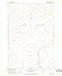
1967 · Blunt NW
USGS Topo · 1:24,000

1968 · Harrold NW
USGS Topo · 1:24,000

1968 · Harrold
USGS Topo · 1:24,000

1974 · Gettysburg Municipal Airport SE
USGS Topo · 1:24,000
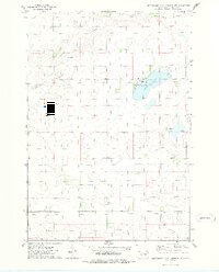
1974 · Gettysburg Municipal Airport SW
USGS Topo · 1:24,000
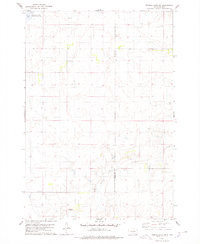
1978 · Thomas Lake SW
USGS Topo · 1:24,000