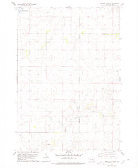
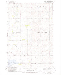
1978 Map of Thomas Lake SW
USGS Topo · Published 1978About this map
Stone Lake State Public Shooting Area occupies the northwest corner of this prairie landscape, surrounding the waters of Stone Lake. The terrain is defined by the winding course of Medicine Creek, which flows through the southern half of the quadrangle past a prominent elevation known simply as Knoll. This 1970s survey illustrates a rural South Dakota environment where social life and infrastructure were anchored by small country schools. Educational landmarks such as Norfolk Sch and East Cora Sch are positioned at section crossroads, serving the surrounding farmsteads. The local economy is further evidenced by several Gravel Pits distributed across the landscape. The map also delineates the jurisdictional boundary between Sully Co and Hyde Co, providing a clear record of the region's geopolitical layout during this period.
Find a feature on this map
9 named features on this map. Tap any name to fly to it.
Don’t see what you’re looking for? This feature index may not catch every label — zoom into the map to look around manually.
Map Details
Editions of this 1978 Thomas Lake SW Map
This is the sole edition of this map. No revisions or reprints were ever made.
Other maps of this area

1953 · Huron
USGS Topo · 1:250,000

1954 · Huron
USGS Topo · 1:250,000

1967 · Blunt NE
USGS Topo · 1:24,000

1968 · Harrold NW
USGS Topo · 1:24,000

1968 · Harrold NE
USGS Topo · 1:24,000

1974 · Gettysburg Municipal Airport SE
USGS Topo · 1:24,000
1974 · Gettysburg Muni. Airport NE
USGS Topo · 1:24,000
1978 · Bald Hills
USGS Topo · 1:24,000
1978 · Thomas Lake
USGS Topo · 1:24,000
1978 · Thomas Lake NW
USGS Topo · 1:24,000