
1974 Map of Gettysburg Municipal Airport SE
USGS Topo · Published 1978About this map
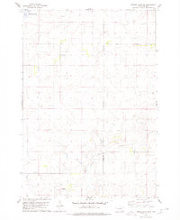
Fairview Sch stands as a central marker of rural life in this 1974 survey of the South Dakota prairie. The landscape in this portion of Sully County is defined by a dense network of small depressions and seasonal wetlands, many of which are protected by the National Waterfowl Production Area. These natural features, characteristic of the region's glacial topography, dominate the terrain alongside agricultural field patterns and section-line roads.
Find a feature on this map
7 named features on this map. Tap any name to fly to it.
Don’t see what you’re looking for? This feature index may not catch every label — zoom into the map to look around manually.
Map Details
Editions of this 1974 Gettysburg Municipal Airport SE Map
This is the sole edition of this map. No revisions or reprints were ever made.
Other maps of this area

1953 · Huron
USGS Topo · 1:250,000

1954 · Huron
USGS Topo · 1:250,000
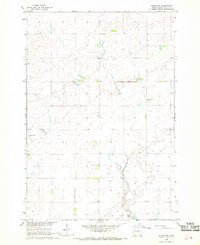
1967 · Blunt NW
USGS Topo · 1:24,000

1967 · Blunt NE
USGS Topo · 1:24,000

1968 · Harrold NW
USGS Topo · 1:24,000
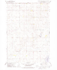
1974 · Gettysburg Muni. Airport NE
USGS Topo · 1:24,000
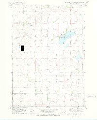
1974 · Gettysburg Municipal Airport SW
USGS Topo · 1:24,000
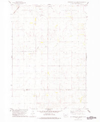
1978 · Gettysburg Muni. Airport
USGS Topo · 1:24,000
1978 · Thomas Lake SW
USGS Topo · 1:24,000
1978 · Thomas Lake NW
USGS Topo · 1:24,000