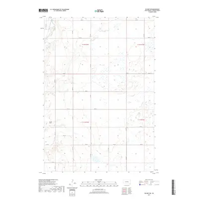
2017 Map of De Grey NW
USGS Topo · Published 2017About this map
Medicine Knoll Creek snakes through the northwestern corner of this Hughes County landscape, defining the local drainage before the terrain transitions into the high plains. The area is characterized by a series of draws and depressions, most notably Dehart Draw, which cuts through the southwestern section. The landscape is organized by a strict grid of section lines and rural routes, reflecting the enduring legacy of the Public Land Survey System in the Dakotas. A network of local roads such as Runge Rd, Dixon Rd, and Co Rd 652 provide access to the expansive agricultural tracts. While largely devoid of concentrated settlements, the map reveals the intricate pattern of wetlands and seasonal water bodies that dot the prairie, illustrating the subtle hydrology of the region.
Find a feature on this map
22 named features on this map. Tap any name to fly to it.
Don’t see what you’re looking for? This feature index may not catch every label — zoom into the map to look around manually.
Map Details
Editions of this 2017 De Grey NW Map
This is the sole edition of this map. No revisions or reprints were ever made.
Other maps of this area

1934 · Canning
USGS Topo · 1:48,000

1937 · Canning
USGS Topo · 1:62,500

1953 · Huron
USGS Topo · 1:250,000

1954 · Pierre
USGS Topo · 1:250,000

1954 · Huron
USGS Topo · 1:250,000

1958 · Pierre
USGS Topo · 1:250,000

1967 · Canning
USGS Topo · 1:24,000

1967 · Onida SE
USGS Topo · 1:24,000

1967 · Blunt
USGS Topo · 1:24,000

1967 · Blunt SE
USGS Topo · 1:24,000