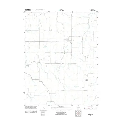
2012 Map of De Kalb
USGS Topo · Published 2012About this map
De Kalb sits at the heart of this Buchanan County landscape, serving as a central hub for a network of rural roads and agricultural drainage. The area is defined by the branching tributaries of Sugar Creek, including Little Sugar Creek and South Sugar Creek, which carve through the terrain. For family historians, the sheet is exceptionally dense with burial sites, preserving the locations of West Lawn Cemetery, Kerlin Cemetery, Jones Cemetery, and Alexander Cemetery, among several others. These sites, often situated near original family homesteads or crossroad junctions like Mock Corner, provide a detailed record of the community's ancestral footprint. Evidence of modern land use appears in features like the Landing Strip west of town, while the surrounding grid of roads like SW Old N Rd and Fairview Rd maintains the traditional section-line boundaries established in the nineteenth century.
Find a feature on this map
57 named features on this map. Tap any name to fly to it.
Don’t see what you’re looking for? This feature index may not catch every label — zoom into the map to look around manually.
Map Details
Editions of this 2012 De Kalb Map
This is the sole edition of this map. No revisions or reprints were ever made.
Other maps of this area

1885 · Atchison
USGS Topo · 1:125,000

1886 · Oskaloosa
USGS Topo · 1:125,000

1888 · Oskaloosa
USGS Topo · 1:125,000

1888 · Atchison
USGS Topo · 1:125,000

1890 · Kansas City
USGS Topo · 1:125,000

1893 · Atchison
USGS Topo · 1:125,000

1894 · Kansas City
USGS Topo · 1:125,000

1894 · Oskaloosa
USGS Topo · 1:125,000

1910 · Leavenworth
USGS Topo · 1:62,500

1926 · Atchison
USGS Topo · 1:62,500