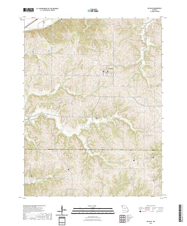
2021 Map of De Kalb
USGS Topo · Published 2021About this map
De Kalb serves as the primary settlement in this portion of Missouri, where the street grid of Main St and Walnut St sits amidst a deeply carved drainage network. The landscape is defined by the winding paths of Little Sugar Creek and Sugar Creek, which flow through a series of steep ridges and valleys that transition into the Buchanan and Platte county line to the south. This area is particularly rich in genealogical data, preserving numerous small family and community burial grounds such as West Lawn Cemetery, the Peter A Jones Cemetery, and the Old Campground Cemetery. Further west, the terrain slopes toward the Missouri River bottomlands near Church's Landing, illustrating the historical reliance on both upland agriculture and river access for local commerce and transport.
Find a feature on this map
66 named features on this map. Tap any name to fly to it.
Don’t see what you’re looking for? This feature index may not catch every label — zoom into the map to look around manually.
Map Details
Editions of this 2021 De Kalb Map
This is the sole edition of this map. No revisions or reprints were ever made.
Other maps of this area

1885 · Atchison
USGS Topo · 1:125,000

1886 · Oskaloosa
USGS Topo · 1:125,000

1888 · Oskaloosa
USGS Topo · 1:125,000

1888 · Atchison
USGS Topo · 1:125,000

1890 · Kansas City
USGS Topo · 1:125,000

1893 · Atchison
USGS Topo · 1:125,000

1894 · Kansas City
USGS Topo · 1:125,000

1894 · Oskaloosa
USGS Topo · 1:125,000

1910 · Leavenworth
USGS Topo · 1:62,500

1926 · Atchison
USGS Topo · 1:62,500