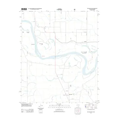
2013 Map of De Kalb NW
USGS Topo · Published 2013About this map
The Red River defines the borderlands of this region, shaping a landscape of dramatic bends and oxbow remnants. The hydrological history of the river is etched into the terrain through features like the Whitaker Bend Cut Off and Harris Bend Cut Off, alongside uniquely named water bodies such as Long Log Lake and the Nineteen Hundred 1908 and Cut-Eight Cut Off Off. These geographical markers point to a dynamic river system that has shifted over decades, leaving behind isolated sloughs and fertile bottomlands.
Find a feature on this map
38 named features on this map. Tap any name to fly to it.
Don’t see what you’re looking for? This feature index may not catch every label — zoom into the map to look around manually.
Map Details
Editions of this 2013 De Kalb NW Map
This is the sole edition of this map. No revisions or reprints were ever made.
Other maps of this area

1950 · De Kalb NW
USGS Topo · 1:24,000

1950 · Haworth
USGS Topo · 1:24,000

1950 · Tom
USGS Topo · 1:24,000

1950 · De Kalb
USGS Topo · 1:24,000

1950 · Oak Grove
USGS Topo · 1:24,000

1950 · Bokhoma
USGS Topo · 1:24,000

1951 · Idabel SE
USGS Topo · 1:24,000

1951 · De Kalb
USGS Topo · 1:24,000

1951 · English
USGS Topo · 1:24,000

1951 · De Kalb NW
USGS Topo · 1:24,000