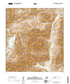
2019 Map of De Long Mountains A-2 SE
USGS Topo · Published 2019About this map
Industrial operations and high-latitude wilderness meet in this portion of the De Long Mountains within the Northwest Arctic Borough. The Red Dog Mine serves as a massive focal point for the region, supported by the Red Dog Airport and the specialized Red Dog Mine Road that cuts across the tundra. These facilities represent one of the world's largest zinc and lead extraction sites, operating in a landscape where infrastructure is rare and highly targeted.
Find a feature on this map
16 named features on this map. Tap any name to fly to it.
Don’t see what you’re looking for? This feature index may not catch every label — zoom into the map to look around manually.
Map Details
Editions of this 2019 De Long Mountains A-2 SE Map
This is the sole edition of this map. No revisions or reprints were ever made.
Other maps of this area

1951 · De Long Mountains
USGS Topo · 1:250,000

1951 · Noatak
USGS Topo · 1:250,000

1955 · Noatak
USGS Topo · 1:250,000

1955 · De Long Mountains
USGS Topo · 1:250,000

1955 · Noatak D-2
USGS Topo · 1:63,360

1955 · De Long Mountains A-1
USGS Topo · 1:63,360

1955 · De Long Mountains A-2
USGS Topo · 1:63,360

1964 · Noatak
USGS Topo · 1:250,000

1965 · De Long Mountains
USGS Topo · 1:250,000
2015 · De Long Mountains A-2 NW
USGS Topo · 1:25,000