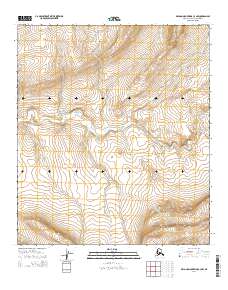
2014 Map of De Long Mountains C-3 NW
USGS Topo · Published 2014About this map
The Pitmagea River carves a winding path through this northern Alaskan landscape, serving as the primary geographical focal point for an area defined by its significant relief and elevation changes. This 2014 survey document by the U.S. Geological Survey details a remote portion of the North Slope Borough, where the terrain rises from river valleys toward the higher ridges of the De Long Mountains. The mapping covers several public land survey segments, including T8s R50w and T8s R49w, illustrating a landscape devoid of permanent settlements or modern road infrastructure. Instead, the focus remains on the natural drainage patterns and the complex contours of the mountain range, providing a precise record of the topography before any potential future industrial or infrastructural developments in this arctic region.
Find a feature on this map
5 named features on this map. Tap any name to fly to it.
Don’t see what you’re looking for? This feature index may not catch every label — zoom into the map to look around manually.
Map Details
Editions of this 2014 De Long Mountains C-3 NW Map
This is the sole edition of this map. No revisions or reprints were ever made.
Other maps of this area

1951 · De Long Mountains
USGS Topo · 1:250,000

1955 · De Long Mountains
USGS Topo · 1:250,000
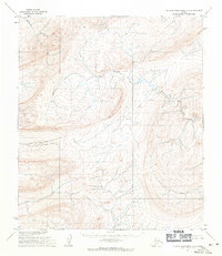
1955 · De Long Mountains D-3
USGS Topo · 1:63,360

1955 · De Long Mountains D-4
USGS Topo · 1:63,360

1955 · De Long Mountains C-4
USGS Topo · 1:63,360
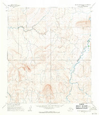
1955 · De Long Mountains C-3
USGS Topo · 1:63,360

1965 · De Long Mountains
USGS Topo · 1:250,000
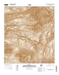
2014 · De Long Mountains C-4 SE
USGS Topo · 1:25,000
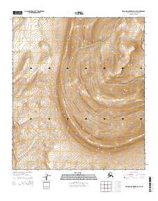
2014 · De Long Mountains D-3 SE
USGS Topo · 1:25,000
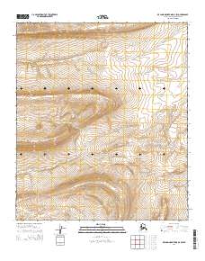
2014 · De Long Mountains D-3 SW
USGS Topo · 1:25,000