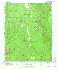
1962 Map of De Motte Park
USGS Topo · Published 1971About this map
Kaibab National Forest dominates this 1962 landscape, revealing the complex drainage systems and high-altitude plateaus of the North Rim region. The map captures the infrastructure of early tourism and forest management, centered around the Kaibab Lodge and the North Rim Entrance Sta. Water sources are critical identifiers in this environment, with numerous family-named and descriptive springs such as Robbers Roost Spring, Kanabownits Spr, and Neal Spring providing vital points of reference across the De Motte Park and Little Park meadows.
Find a feature on this map
81 named features on this map. Tap any name to fly to it.
Don’t see what you’re looking for? This feature index may not catch every label — zoom into the map to look around manually.
Map Details
Editions of this 1962 De Motte Park Map
2 editions found

Other maps of this area

1886 · Echo Cliffs
USGS Topo · 1:250,000

1886 · Kaibab
USGS Topo · 1:250,000

1891 · Echo Cliffs
USGS Topo · 1:250,000

1903 · Bright Angel
USGS Topo · 1:48,000

1906 · Bright Angel
USGS Topo · 1:48,000

1907 · Vishnu
USGS Topo · 1:48,000

1936 · Jacobs Lake
USGS Topo · 1:48,000

1940 · Jacob Lake
USGS Topo · 1:62,500

1953 · Jacobs Lake
USGS Topo · 1:62,500

1953 · Grand Canyon
USGS Topo · 1:250,000