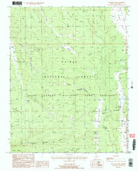
1988 Map of De Motte Park
USGS Topo · Published 1988About this map
Kaibab National Forest and the Grand Canyon National Game Preserve converge in this 1980s landscape of high-altitude parks and deep drainage systems. The map captures a specialized infrastructure for resource management and wildlife preservation, featuring numerous water tanks like the North Blowdown Tank and V T Ridge No 2 Tank that dot the terrain. Central to the human footprint is the Kaibab Lodge and nearby Campground, serving as a hub for visitors near the expansive meadows of De Motte Park.
Find a feature on this map
40 named features on this map. Tap any name to fly to it.
Don’t see what you’re looking for? This feature index may not catch every label — zoom into the map to look around manually.
Map Details
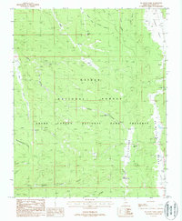
Editions of this 1988 De Motte Park Map
2 editions found
Other maps of this area

1886 · Kaibab
USGS Topo · 1:250,000

1936 · Jacobs Lake
USGS Topo · 1:48,000

1940 · Jacob Lake
USGS Topo · 1:62,500

1953 · Jacobs Lake
USGS Topo · 1:62,500

1953 · Grand Canyon
USGS Topo · 1:250,000

1957 · Grand Canyon
USGS Topo · 1:250,000

1958 · Grand Canyon
USGS Topo · 1:250,000

1958 · Big Springs
USGS Topo · 1:62,500

1960 · Grand Canyon
USGS Topo · 1:250,000

1962 · De Motte Park
USGS Topo · 1:62,500