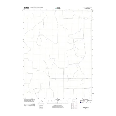
2010 Map of De Nova NE
USGS Topo · Published 2010About this map
Price Ranch stands as a primary landmark in this corner of the High Plains, representing the isolated ranching operations characteristic of eastern Colorado. This 2010 survey illustrates a highly organized grid of rural infrastructure, where precise segments like County Road YY 7/10 and County Road YY 3/10 provide access across the vast open country of Yuma County. The map details the intersection of major north-south arteries including County Road XX and County Road AAA with east-west connectors such as County Rd-22. This layout reflects the modern management of agricultural lands, where named roads serve as the essential framework for a sparsely populated but active ranching landscape.
Find a feature on this map
13 named features on this map. Tap any name to fly to it.
Don’t see what you’re looking for? This feature index may not catch every label — zoom into the map to look around manually.
Map Details
Editions of this 2010 De Nova NE Map
This is the sole edition of this map. No revisions or reprints were ever made.
Other maps of this area

1954 · Limon
USGS Topo · 1:250,000

1954 · Sterling
USGS Topo · 1:250,000

1957 · Limon
USGS Topo · 1:250,000

1958 · Limon
USGS Topo · 1:250,000

1958 · Sterling
USGS Topo · 1:250,000

1972 · Snyder Lake
USGS Topo · 1:24,000

1972 · Otis SE
USGS Topo · 1:24,000

1972 · Yuma South
USGS Topo · 1:24,000

1974 · De Nova SE
USGS Topo · 1:24,000
1974 · Abarr
USGS Topo · 1:24,000